Bosmie-l'Aiguille | |
|---|---|
.svg.png.webp) Coat of arms | |
Location of Bosmie-l'Aiguille | |
 Bosmie-l'Aiguille 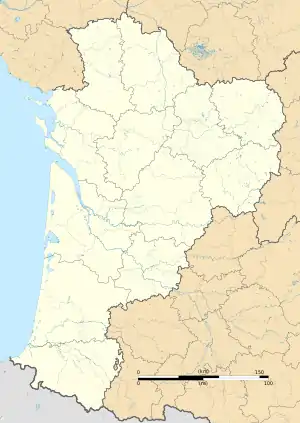 Bosmie-l'Aiguille | |
| Coordinates: 45°46′07″N 1°13′39″E / 45.7686°N 1.22750°E | |
| Country | France |
| Region | Nouvelle-Aquitaine |
| Department | Haute-Vienne |
| Arrondissement | Limoges |
| Canton | Aixe-sur-Vienne |
| Intercommunality | Val de Vienne |
| Government | |
| • Mayor (2020–2026) | Maurice Leboutet[1] |
| Area 1 | 8.01 km2 (3.09 sq mi) |
| Population | 2,617 |
| • Density | 330/km2 (850/sq mi) |
| Time zone | UTC+01:00 (CET) |
| • Summer (DST) | UTC+02:00 (CEST) |
| INSEE/Postal code | 87021 /87110 |
| Elevation | 210–375 m (689–1,230 ft) |
| 1 French Land Register data, which excludes lakes, ponds, glaciers > 1 km2 (0.386 sq mi or 247 acres) and river estuaries. | |
Bosmie-l'Aiguille (French pronunciation: [bɔsmi lɛɡɥij]; Occitan: Bòsc Mian) is a commune in the Haute-Vienne department in the Nouvelle-Aquitaine region in western France.
Geography
The river Briance forms all of the commune's north-eastern border, then flows into the Vienne, which forms part of its northern border. L'Aiguille station has rail connections to Bordeaux, Périgueux, Brive-la-Gaillarde and Limoges.
Population
| Year | Pop. | ±% p.a. |
|---|---|---|
| 1968 | 1,191 | — |
| 1975 | 1,332 | +1.61% |
| 1982 | 1,704 | +3.58% |
| 1990 | 1,950 | +1.70% |
| 1999 | 2,197 | +1.33% |
| 2007 | 2,279 | +0.46% |
| 2012 | 2,418 | +1.19% |
| 2017 | 2,579 | +1.30% |
| Source: INSEE[3] | ||
Inhabitants are known as Bosmiauds in French.
See also
References
- ↑ "Répertoire national des élus: les maires" (in French). data.gouv.fr, Plateforme ouverte des données publiques françaises. 4 May 2022.
- ↑ "Populations légales 2021". The National Institute of Statistics and Economic Studies. 28 December 2023.
- ↑ Population en historique depuis 1968, INSEE
Wikimedia Commons has media related to Bosmie-l'Aiguille.
This article is issued from Wikipedia. The text is licensed under Creative Commons - Attribution - Sharealike. Additional terms may apply for the media files.