Borek Wielkopolski | |
|---|---|
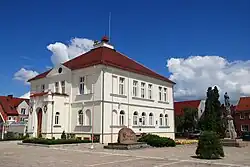 Town Hall | |
 Flag  Coat of arms | |
 Borek Wielkopolski | |
| Coordinates: 51°55′N 17°15′E / 51.917°N 17.250°E | |
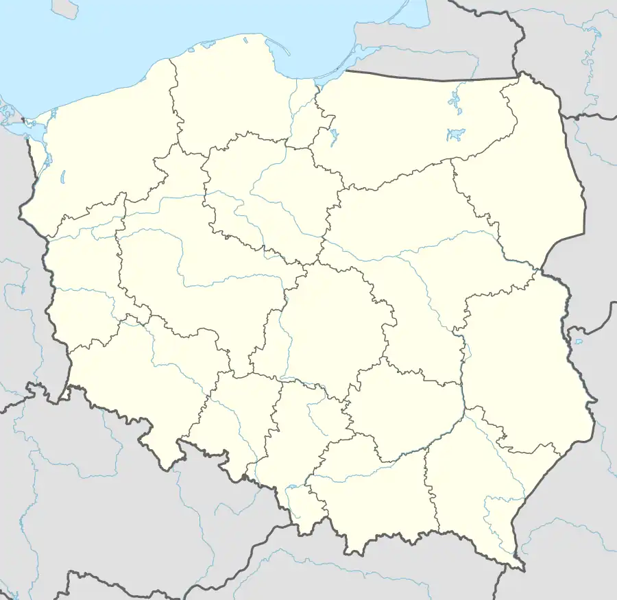
| Country | |
| Voivodeship | Greater Poland |
| County | Gostyń |
| Gmina | Borek Wielkopolski |
| Town rights | 1392 |
| Government | |
| • Mayor | Marek Rożek |
| Area | |
| • Total | 6.16 km2 (2.38 sq mi) |
| Population (30 June 2021[1]) | |
| • Total | 2,485 |
| • Density | 400/km2 (1,000/sq mi) |
| Time zone | UTC+1 (CET) |
| • Summer (DST) | UTC+2 (CEST) |
| Postal code | 63-810 |
| Area code | +48 65 |
| Vehicle registration | PGS |
| Website | http://www.borekwlkp.pl/ |
Borek Wielkopolski [ˈbɔrɛk vʲɛlkɔˈpɔlskʲi] is a town in Poland, in the Gostyń County in the Greater Poland Voivodeship, with 2,485 inhabitants as of June 2021.[1]
History
| Year | Pop. | ±% |
|---|---|---|
| 1811 | 1,086 | — |
| 1837 | 1,750 | +61.1% |
| 1921 | 2,097 | +19.8% |
| 1931 | 2,052 | −2.1% |
| 2010 | 2,532 | +23.4% |
| Source: [2][3][4][5] | ||
Borek was granted town rights in 1392 by Polish King Władysław II Jagiełło. It was a private town, administratively located in the Pyzdry County in the Kalisz Voivodeship in the Greater Poland Province of the Kingdom of Poland.[6]
Following the joint German-Soviet invasion of Poland, which started World War II in September 1939, the village was occupied by Germany until 1945. The occupiers operated a forced labour camp for Jews in the town.[7]
From 1975 to 1998 it was a part of Leszno Voivodeship.
References
- 1 2 "Local Data Bank". Statistics Poland. Retrieved 2022-06-01. Data for territorial unit 3004014.
- ↑ Plater, Leon (1846). Opisanie historyczno-statystyczne Wielkiego Księztwa Poznańskiego (in Polish). Lipsk: Księgarnia Zagraniczna. p. 241.
- ↑ Skorowidz miejscowości Rzeczypospolitej Polskiej (in Polish). Vol. X. Warszawa: Główny Urząd Statystyczny. 1926. p. 37.
- ↑ Wiadomości Statystyczne Głównego Urzędu Statystycznego (in Polish). Vol. X. Warszawa: Główny Urząd Statystyczny. 1932. p. 201.
- ↑ Stan i struktura ludności oraz ruch naturalny w przekroju terytorialnym w 2010 r. (PDF) (in Polish). Warszawa: Główny Urząd Statystyczny. 2011. p. 102. Archived from the original (PDF) on 13 November 2011.
- ↑ Atlas historyczny Polski. Wielkopolska w drugiej połowie XVI wieku. Część I. Mapy, plany (in Polish). Warszawa: Instytut Historii Polskiej Akademii Nauk. 2017. p. 1b.
- ↑ "Zwangsarbeitslager für Juden Borek Wielkopolski". Bundesarchiv.de (in German). Retrieved 11 January 2024.

Interior of Church of St. Mary
Wikimedia Commons has media related to Borek Wielkopolski.
This article is issued from Wikipedia. The text is licensed under Creative Commons - Attribution - Sharealike. Additional terms may apply for the media files.