Bogus Hill, Connecticut | |
|---|---|
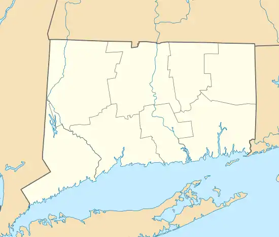
 Location within the Western Connecticut Planning Region and the state of Connecticut | |
 Bogus Hill  Bogus Hill | |
| Coordinates: 41°30′26″N 73°27′44″W / 41.50722°N 73.46222°W | |
| Country | |
| State | Connecticut |
| County | Fairfield |
| Town | New Fairfield |
| Area | |
| • Total | 0.45 km2 (0.17 sq mi) |
| • Land | 0.26 km2 (0.10 sq mi) |
| • Water | 0.19 km2 (0.07 sq mi) |
| Elevation | 160 m (530 ft) |
| Time zone | UTC-5 (Eastern (EST)) |
| • Summer (DST) | UTC-4 (EDT) |
| ZIP Code | 06812 (New Fairfield) |
| Area codes | 203/475 |
| FIPS code | 09-06155 |
| GNIS feature ID | 2805930[2] |
Bogus Hill is a census-designated place (CDP) in the town of New Fairfield, Fairfield County, Connecticut, United States. It is in the northeast part of the town, on a hill of the same name occupying a peninsula in Candlewood Lake. It is bordered to the southwest, across Squantz Cove, by Knollcrest.
Bogus Hill was first listed as a CDP prior to the 2020 census.
References
- ↑ "2020 U.S. Gazetteer Files – Connecticut". United States Census Bureau. Retrieved April 12, 2021.
- 1 2 "Bogus Hill Census Designated Place". Geographic Names Information System. United States Geological Survey, United States Department of the Interior.

This article is issued from Wikipedia. The text is licensed under Creative Commons - Attribution - Sharealike. Additional terms may apply for the media files.