Blythe, Georgia | |
|---|---|
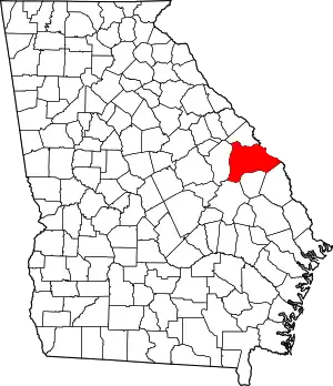
 Location in Richmond County and the state of Georgia | |
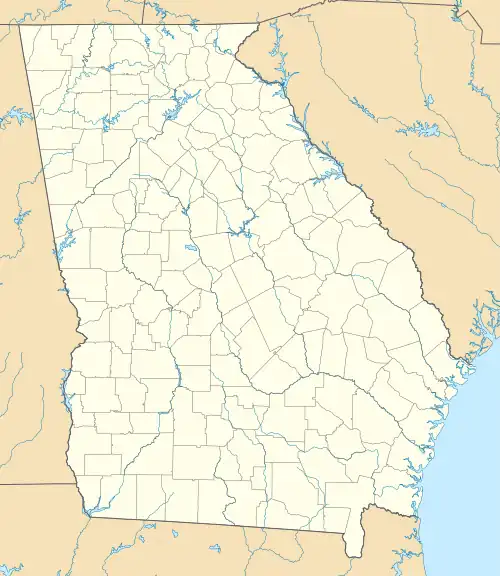
 Blythe Location within the state of Georgia  Blythe Location within the USA | |
| Coordinates: 33°17′41″N 82°12′2″W / 33.29472°N 82.20056°W | |
| Country | |
| State | |
| County | Richmond |
| Area | |
| • Total | 2.86 sq mi (7.41 km2) |
| • Land | 2.85 sq mi (7.39 km2) |
| • Water | 0.01 sq mi (0.02 km2) |
| Elevation | 453 ft (138 m) |
| Population (2020) | |
| • Total | 744 |
| • Density | 260.87/sq mi (100.72/km2) |
| Time zone | UTC-5 (Eastern (EST)) |
| • Summer (DST) | UTC-4 (EDT) |
| ZIP code | 30805 |
| Area code | 706 |
| FIPS code | 13-09040[2] |
| GNIS feature ID | 0354797[3] |
| Website | cityofblythega |
Blythe is a city in Richmond County in the U.S. state of Georgia. As of the 2020 census, the city had a population of 744. It is part of the Augusta, Georgia metropolitan area.
Geography
Blythe is located at 33°17′41″N 82°12′2″W / 33.29472°N 82.20056°W (33.294858, -82.200623).[4] According to the United States Census Bureau, the city has a total area of 2.8 square miles (7.3 km2), of which, 2.8 square miles (7.3 km2) of it is land and 0.35% of it is water.
Demographics
| Census | Pop. | Note | %± |
|---|---|---|---|
| 1930 | 209 | — | |
| 1940 | 181 | −13.4% | |
| 1950 | 268 | 48.1% | |
| 1960 | 172 | −35.8% | |
| 1970 | 333 | 93.6% | |
| 1980 | 367 | 10.2% | |
| 1990 | 300 | −18.3% | |
| 2000 | 718 | 139.3% | |
| 2010 | 721 | 0.4% | |
| 2020 | 744 | 3.2% | |
| U.S. Decennial Census[5] | |||
| Race | Num. | Perc. |
|---|---|---|
| White (non-Hispanic) | 526 | 70.7% |
| Black or African American (non-Hispanic) | 109 | 14.65% |
| Native American | 8 | 1.08% |
| Other/Mixed | 28 | 3.76% |
| Hispanic or Latino | 73 | 9.81% |
As of the 2020 United States census, there were 744 people, 224 households, and 160 families residing in the city.
See also
References
- ↑ "2020 U.S. Gazetteer Files". United States Census Bureau. Retrieved December 18, 2021.
- ↑ "U.S. Census website". United States Census Bureau. Retrieved January 31, 2008.
- ↑ "US Board on Geographic Names". United States Geological Survey. October 25, 2007. Retrieved January 31, 2008.
- ↑ "US Gazetteer files: 2010, 2000, and 1990". United States Census Bureau. February 12, 2011. Retrieved April 23, 2011.
- ↑ "Census of Population and Housing". Census.gov. Retrieved June 4, 2015.
- ↑ "Explore Census Data". data.census.gov. Retrieved December 14, 2021.
External links
This article is issued from Wikipedia. The text is licensed under Creative Commons - Attribution - Sharealike. Additional terms may apply for the media files.

