| Blesbokspruit | |
|---|---|
 | |
| Location | |
| Country | South Africa |
| Province | Gauteng |
| Physical characteristics | |
| Mouth | Suikerbosrand River |
• coordinates | 26°36′00″S 28°17′23″E / 26.6001°S 28.2898°E / -26.6001; 28.2898 |
| Basin features | |
| Protection status | |
| Official name | Blesbokspruit |
| Designated | 2 October 1986 |
| Reference no. | 343[1] |
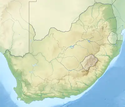
The Blesbokspruit is a river in South Africa that originates north of Daveyton, Gauteng, from where it runs south and then west past the towns of Springs, Nigel and Heidelberg before joining the Suikerbosrand River, a tributary of the Vaal River.
The Marievale Bird Sanctuary is situated in its upper reaches, established when roads and pipelines reached nearby mines in 1930. An area of 1,848 hectares has been declared a Ramsar site to guard against industrial pollution of the wetland, and has been designated as an Important Bird Area.
Biodiversity
Main article: Marievale Bird Sanctuary
Among the plants and animals that can be found in the Bleksbokspruit wetland are heron, bulrushes, phragmites reeds, yellow-billed ducks, marsh mongoose and giant bullfrogs.[2][3]
See also
References
- ↑ "Blesbokspruit". Ramsar Sites Information Service. Retrieved 25 April 2018.
- ↑ "Marievale Bird Sanctuary: Gauteng Tourism Authority". www.gauteng.net. Retrieved 25 May 2022.
- ↑ "Marievale Bird Sanctuary". www.nigel.co.za. Retrieved 25 May 2022.
This article is issued from Wikipedia. The text is licensed under Creative Commons - Attribution - Sharealike. Additional terms may apply for the media files.