Blackwaterfoot
| |
|---|---|
.JPG.webp) Village centre with tiny harbour | |
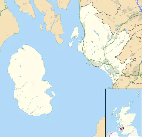 Blackwaterfoot Location within North Ayrshire | |
| OS grid reference | NR895281 |
| Civil parish |
|
| Council area | |
| Lieutenancy area | |
| Country | Scotland |
| Sovereign state | United Kingdom |
| Post town | ISLE OF ARRAN |
| Postcode district | KA27 |
| Dialling code | 01770 |
| Police | Scotland |
| Fire | Scottish |
| Ambulance | Scottish |
| UK Parliament | |
| Scottish Parliament | |
Blackwaterfoot (Scottish Gaelic: Bun na Uisge Dubh lit. 'foot of the black water') is a village on the Isle of Arran in the Firth of Clyde, Scotland. The village is within the parish of Kilmory.[1] It is located in the Shiskine valley in the south-west of the island. It is one of the smaller villages of Arran and home to one of Europe's two 12-hole golf courses. A short walk from Blackwaterfoot is Drumadoon Point, home to the largest Iron Age fort on Arran. Further North is the King's Cave, reputed to be a hiding place of Robert the Bruce.
.JPG.webp) View of Blackwaterfoot from the south
View of Blackwaterfoot from the south.JPG.webp) Village centre with Harbour Shop, looking east toward Kintyre
Village centre with Harbour Shop, looking east toward Kintyre
References
- ↑ "Details of Blackwaterfoot". Scottish Places. Retrieved 31 December 2014.
External links
Wikimedia Commons has media related to Blackwaterfoot.
| Main villages |  | |
|---|---|---|
| Smaller villages and settlements | ||
| Mountains and hills | ||
| History |
| |
| Environment | ||
| Economy | ||
| Surrounding islands |
| |
This article is issued from Wikipedia. The text is licensed under Creative Commons - Attribution - Sharealike. Additional terms may apply for the media files.