| Blackstone Heights Launceston, Tasmania | |||||||||||||||
|---|---|---|---|---|---|---|---|---|---|---|---|---|---|---|---|
 Blackstone Heights | |||||||||||||||
| Coordinates | 41°27′39″S 147°04′28″E / 41.4609°S 147.0744°E | ||||||||||||||
| Population | 1,270 (2016 census)[1] | ||||||||||||||
| Postcode(s) | 7250 | ||||||||||||||
| Location | 34 km (21 mi) E of Westbury | ||||||||||||||
| LGA(s) | Meander Valley Council | ||||||||||||||
| Region | Launceston | ||||||||||||||
| State electorate(s) | Bass | ||||||||||||||
| Federal division(s) | Bass | ||||||||||||||
| |||||||||||||||
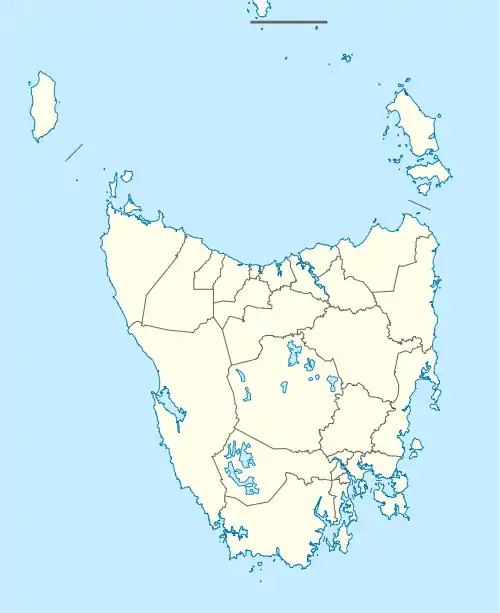
Blackstone Heights is a rural/residential locality in the local government areas (LGA) of Meander Valley (97.5%) and West Tamar (2.5%) in the Launceston LGA region of Tasmania. The locality is about 34 kilometres (21 mi) east of the town of Westbury. The 2016 census recorded a population of 1270 for the state suburb of Blackstone Heights.[1] It is an outer suburb of Launceston.
Description
Blackstone Heights consists of five major roads, (Blackstone Road, Bayview Drive, Kelsy Road, Panorama Road, and Longvista Road) in a loop about 7 kilometres (4.3 mi) in total. The loop is connected by Pitcher Parade which originates from near the Country Club Casino and is the only entrance to Blackstone Heights.
Services
Blackstone Heights has a supermarket and cafe/restaurant. There are no schools in the suburb, with the closest schools located in the nearby suburb of Prospect. The suburb is serviced by a local bus service to and from Launceston. There is a Christian church located on Neptune Drive.
History
Blackstone Heights is a confirmed locality.[2]
Geography
Th South Esk River forms the western, northern and eastern boundaries.[3]
Road infrastructure
National Route 1 (Bass Highway) passes to the south-east. From there, a series of roads provide access to the locality.[2][4]
References
- 1 2 "2016 Census Quick Stats Blackstone Heights (Tas.)". quickstats.censusdata.abs.gov.au. Australian Bureau of Statistics. 23 October 2017. Retrieved 2 April 2021.
- 1 2 "Placenames Tasmania – Blackstone Heights". Placenames Tasmania. Select “Search”, enter "38108A", click “Search”, select row, map is displayed, click “Details”. Retrieved 2 April 2021.
- ↑ Google (2 April 2021). "Blackstone Heights, Tasmania" (Map). Google Maps. Google. Retrieved 2 April 2021.
- ↑ "Tasmanian Road Route Codes" (PDF). Department of Primary Industries, Parks, Water & Environment. May 2017. Archived from the original (PDF) on 1 August 2017. Retrieved 2 April 2021.