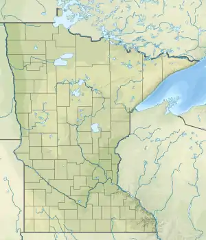
| Blackhoof Rivere | |
|---|---|
 Mouth of the Blackhoof River | |
| Location | |
| Country | United States |
| State | Minnesota |
| County | Carlton County |
| Physical characteristics | |
| Source | |
| • location | Atkinson, Minnesota |
| • coordinates | 46°36′58″N 92°34′48″W / 46.6160559°N 92.579916°W |
| Mouth | North Fork Nemadji River |
• location | Wrenshall, Minnesota |
• coordinates | 46°31′08″N 92°23′52″W / 46.5188321°N 92.3976940°W |
| Length | 26.3-mile-long (42.3 km) |
| Basin features | |
| Progression | Blackhoof River→ Nemadji River→ Lake Superior |
| River system | Nemadji River |
The Blackhoof River is a 26.3-mile-long (42.3 km)[1] tributary of the North Fork Nemadji River in Carlton County, Minnesota, United States, flowing via the Nemadji River to Lake Superior.[2]
"Black hoof" is the English translation of the native Ojibwe language name.[3]
Course
The Blackhoof's source is near the town of Atkinson, Minnesota. It flows through Ellston Lake, which is an impoundment of the river. The Blackhoof River is the largest tributary of the Nemadji River.[4]
Habitat
The Blackhoof River flows through the 4,025.9 acre Blackhoof Wildlife Management Area. Sections of the Blackhoof River have been designated as trout stream by the Minnesota Department of Natural Resoucrs.[5][6] There are both steelhead and brook trout in the Blackhoof River.[7]
See also
References
- ↑ U.S. Geological Survey. National Hydrography Dataset high-resolution flowline data. The National Map Archived 2012-03-29 at the Wayback Machine, accessed May 7, 2012
- ↑ U.S. Geological Survey Geographic Names Information System: Blackhoof River
- ↑ Upham, Warren (1920). Minnesota Geographic Names: Their Origin and Historic Significance. Minnesota Historical Society. p. 74.
- ↑ Waters, Thomas F. (1977). Streams and Rivers of Minnesota. Minneapolis: University Of Minnesota Press. pp. 19–21. ISBN 0816609608.
- ↑ "Minnesota North Shore Trout Maps, Map 1" (PDF). Minnesota DNR. Retrieved April 2, 2021.
- ↑ "Blackhoof WMA". Minnesota DNR. Retrieved April 2, 2021.
- ↑ "Landowner works hard and smart for land, water, family, future". Pine Journal. November 10, 2015. Retrieved April 2, 2021.
- "Minnesota Watersheds". Minnesota DNR.
- USGS Hydrologic Unit Map - State of Minnesota. USGS. 1974.