Birkner | |
|---|---|
Populated Area | |
 Birkner | |
| Coordinates: 38°33′43″N 90°01′44″W / 38.562°N 90.029°W | |
| Country | |
| State | |
| County | |
| Elevation | 505 ft (154 m) |
| Time zone | UTC-6 (Central Time Zone) |
| GNIS feature ID | 426271[1] |
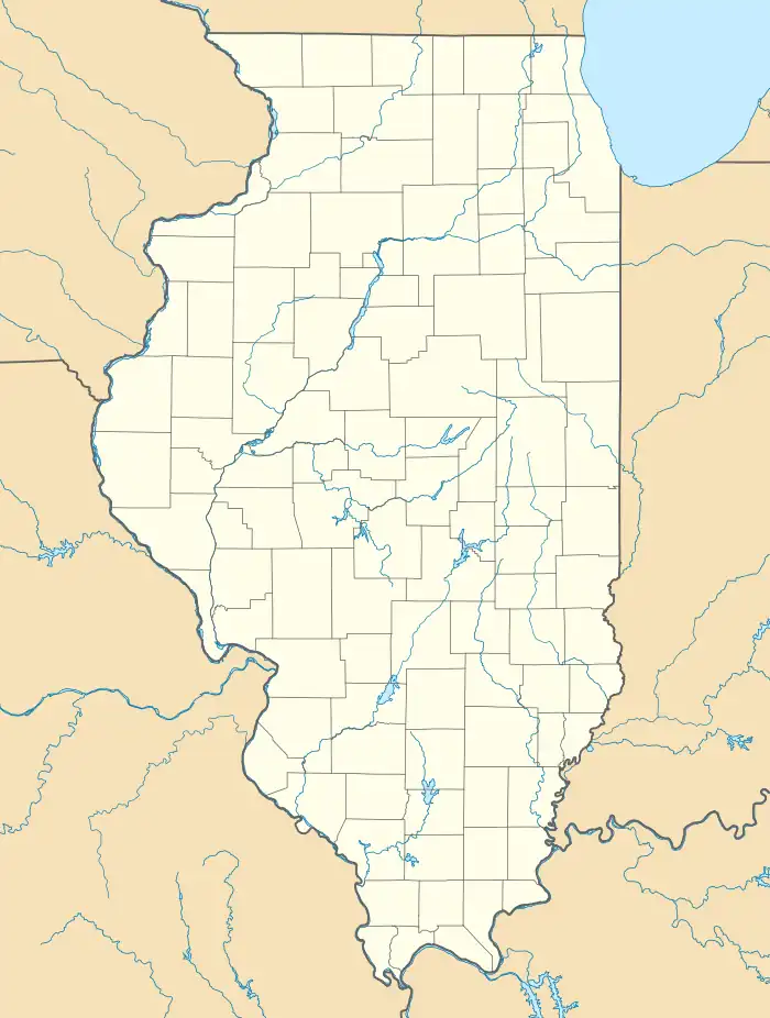
Birkner is a populated area in St. Clair County, Illinois.[2] It is located at 38°33′43″N 90°01′44″W / 38.562°N 90.029°W.[2] A mine of the same name operated from prior to 1882 to 1889.[3] During that time, the mine was operated by Edward Avery & Company, Dutch Hollow Coal Company, and the Consolidated Coal Company of St. Louis.[3]
Birkner can be seen on the French Village U.S. Geological Survey Map.[2]
References
- 1 2 U.S. Geological Survey Geographic Names Information System: Birkner, Illinois
- 1 2 3 "Birkner". IL HomeTown Locator. Retrieved 10 November 2012.
- 1 2 "Coal Mines in Illinois French Village Quadrangle" (PDF). Illinois State Geological Survey. June 5, 2004. Archived from the original (PDF) on 13 June 2010. Retrieved 10 November 2012.
This article is issued from Wikipedia. The text is licensed under Creative Commons - Attribution - Sharealike. Additional terms may apply for the media files.