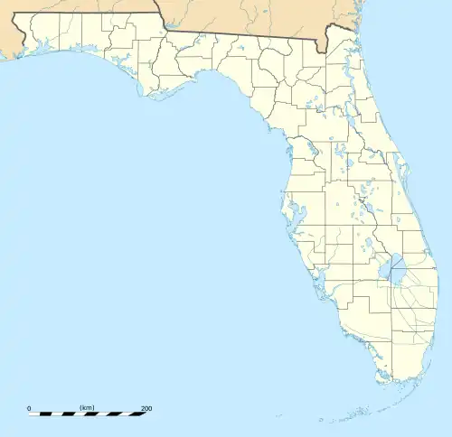
| Big Shoals State Forest | |
|---|---|
.jpg.webp) | |
 | |
| Location | Hamilton County, Florida, US |
| Nearest city | White Springs |
| Coordinates | 30°20′32″N 82°42′28″W / 30.342176°N 82.707751°W |
| Area | 1,629 acres (659 ha) |
Big Shoals State Forest is a protected area of 1,629 acres (659 ha) just east of White Springs, Florida and adjacent to Big Shoals State Park in Hamilton County.[1] The state forest area comprises the north part of the 3,919-acre (1,586 ha) Big Shoals Public Lands[2] and contains the largest area of whitewater in Florida. It is in the area of the Suwannee River.[1]
See also
Wikimedia Commons has media related to Big Shoals State Forest.
References
- 1 2 "Big Shoals Public Lands Management Plan" (PDF). Florida Department of Environmental Protection. 2005. Archived from the original (PDF) on May 17, 2013.
- ↑ "Big Shoals State Forest". Florida Department of Agriculture and Consumer Services. Retrieved June 2, 2014.
External links
- Big Shoals State Forest - official site
This article is issued from Wikipedia. The text is licensed under Creative Commons - Attribution - Sharealike. Additional terms may apply for the media files.