| Bettne River | |
|---|---|
Route of the Bettne River | |
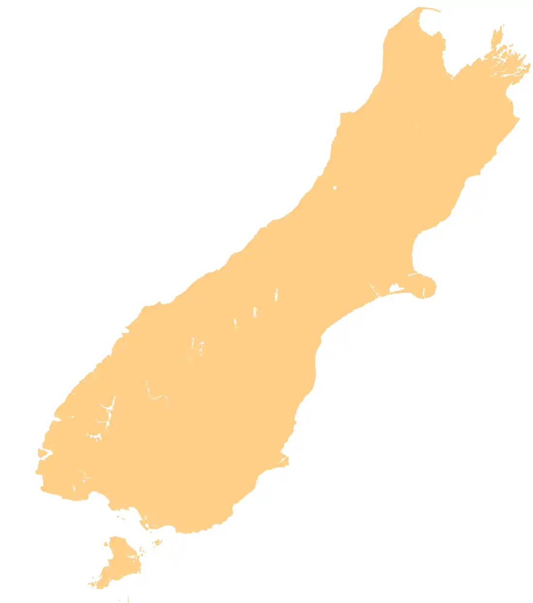
 Mouth of the Bettne River  Bettne River (South Island) | |
| Location | |
| Country | New Zealand |
| region | West Coast Region |
| District | Westland District |
| Physical characteristics | |
| Source | Purity Glacier |
| • location | Southern Alps / Kā Tiritiri o te Moana |
| • coordinates | 44°19′49″S 168°49′20″E / 44.33028°S 168.82222°E |
| • elevation | 1,800 m (5,900 ft) |
| Mouth | Jackson Bay / Okahu |
• coordinates | 44°18′5″S 168°46′55″E / 44.30139°S 168.78194°E |
• elevation | 300 m (980 ft) |
| Length | 5.7 kilometres (3.5 mi) |
| Basin features | |
| Progression | Purity Glacier → Bettne River → Waiatoto River → Jackson Bay / Okahu |
| River system | Waiatoto River |
| Tributaries | |
| • left | Finis Creek |
The Bettne River is a river of South Westland, New Zealand. A tributary of the Waiatoto River, it rises in the Southern Alps / Kā Tiritiri o te Moana and flows north-westward to join that river 4 kilometres (2.5 mi) south of the Bonar Flats.
See also
References
- Land Information New Zealand - Search for Place Names
This article is issued from Wikipedia. The text is licensed under Creative Commons - Attribution - Sharealike. Additional terms may apply for the media files.