Ben Slimane Airport | |||||||||||
|---|---|---|---|---|---|---|---|---|---|---|---|
| Summary | |||||||||||
| Airport type | Public | ||||||||||
| Location | Ben Slimane, Morocco | ||||||||||
| Elevation AMSL | 627 ft / 191 m | ||||||||||
| Coordinates | 33°39′20″N 007°13′17″W / 33.65556°N 7.22139°W | ||||||||||
| Map | |||||||||||
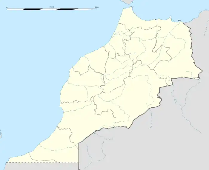
 GMD Location of airport in Morocco | |||||||||||
| Runways | |||||||||||
| |||||||||||
Ben Slimane Airport (IATA: GMD, ICAO: GMMB) is an airport serving Ben Slimane,[1] a town in the Casablanca-Settat region in Morocco. It may have been built as a U.S. Strategic Air Command airbase.
Facilities
The airport resides at an elevation of 627 feet (191 m) above mean sea level. It has 1 runway designated 14/32 with an asphalt surface measuring 3,074 by 46 metres (10,085 ft × 151 ft).[1]
References
- 1 2 3 Airport information for GMMB[usurped] from DAFIF (effective October 2006)
External links
- 3973d Combat Defense Squadron's Webpage for the SAC's 16th Air Force Units and Bases, Boulhart AB, Morocco
- Public Papers of the Presidents of the United States, Dwight D. Eisenhower, 1959: Containing the Public Messages, Speeches, and Statements of the President, January 1 to December 31, 1959. At a meeting in Casablanca, Eisenhower and the King of Morocco agreed that immediate steps were to be taken to release the airfield at Ben Slimane. This was to be accomplished no later than March 31, 1960.
- Google Maps - Ben Slimane
- Current weather for GMMB at NOAA/NWS
- Accident history for GMMB at Aviation Safety Network
This article is issued from Wikipedia. The text is licensed under Creative Commons - Attribution - Sharealike. Additional terms may apply for the media files.