| Bartlett Mountains | |
|---|---|
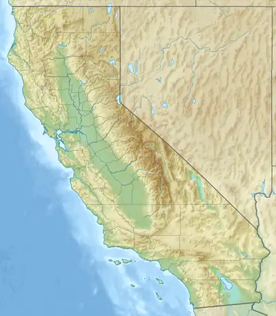 location of Bartlett Mountains in California[1] | |
| Highest point | |
| Elevation | 1,160 m (3,810 ft) |
| Geography | |
| Country | United States |
| State | California |
| District | San Bernardino County |
| Range coordinates | 34°10′24″N 116°20′27″W / 34.17333°N 116.34083°W |
| Topo map | USGS Joshua Tree North |
The Bartlett Mountains are a mountain range in San Bernardino County, California.[1] The range lies just northwest of Joshua Tree.[2]
References
- 1 2 "Bartlett Mountains". Geographic Names Information System. United States Geological Survey, United States Department of the Interior. Retrieved 2009-05-04.
- ↑ "Joshua Tree North" 7.5 Minute Topographic Quadrangle, USGS, 1972
This article is issued from Wikipedia. The text is licensed under Creative Commons - Attribution - Sharealike. Additional terms may apply for the media files.