| Barnacahoge Cashel | |
|---|---|
| Native name Irish: Caiseal Cluain Meirg | |
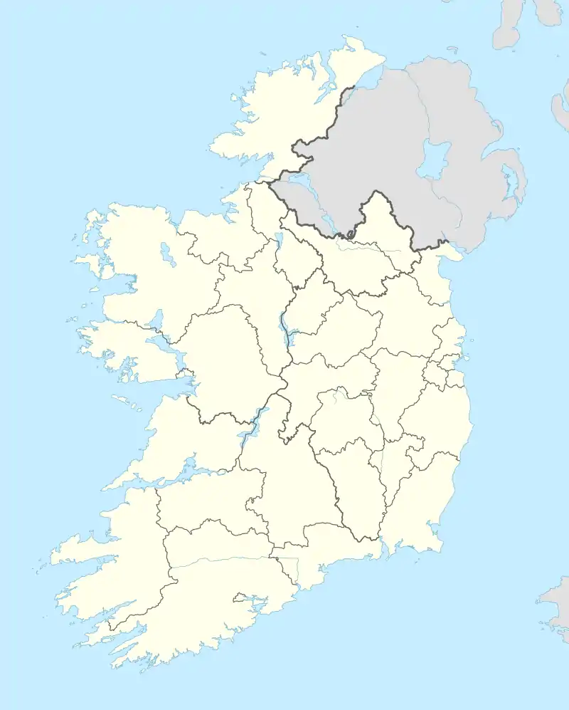 Location of Barnacahoge Cashel in Ireland | |
| Type | stone ringfort |
| Location | Barnacahoge, Swinford, County Mayo, Ireland |
| Coordinates | 53°54′20″N 8°51′23″W / 53.905452°N 8.856397°W |
| Elevation | 136 m (446 ft) |
| Built | c. AD 700 |
| Official name | Barnacahoge Cashel |
| Reference no. | 561 |
Barnacahoge Cashel, is a stone ringfort (cashel) and National Monument located in County Mayo, Ireland.[1]
Location
Barnacahoge Cashel is located on a hill immediately west of Ireland West Airport Knock.[2]
History
Barnacahoge Cashel was constructed in early Christian period (7th or 8th century AD) and may have been inhabited as late as the 18th century. Within the shelter of these stone walls were thatched dwellings of mud and wattle, and pens into which livestock could have been herded when threatened by enemies.
It was rediscovered in 1976–77.
Description
Encircling the flat summit are the remains of a wall 1.5 m (4 ft 11 in) thick and 16 m (52 ft) in diameter.
References
- ↑ "National Monuments in State Care: Ownership & Guardianship" (PDF). www.archaeology.ie. National Monuments Service. 4 March 2009. Retrieved 14 November 2021.
- ↑ "Barnachoge Stone Fort, Kilkelly Co. Mayo West of Ireland - mayo-ireland.ie".
This article is issued from Wikipedia. The text is licensed under Creative Commons - Attribution - Sharealike. Additional terms may apply for the media files.