Bamanbore | |
|---|---|
town | |
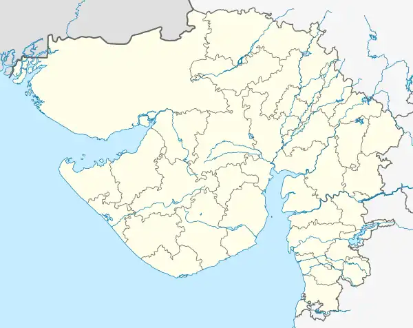 Bamanbore Location in Gujarat, India 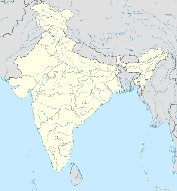 Bamanbore Bamanbore (India) | |
| Coordinates: 22°25′0″N 71°1′0″E / 22.41667°N 71.01667°E | |
| Country | |
| State | Gujarat |
| District | Surendranagar |
| Elevation | 184 m (604 ft) |
| Languages | |
| • Official | Gujarati, Hindi |
| Time zone | UTC+5:30 (IST) |
| Vehicle registration | GJ-13 |
| Coastline | 0 kilometres (0 mi) |
| Website | gujaratindia |
Bamanbore is a town in Surendranagar district of Gujarat, India.
Geography
It is located at 22°25′0″N 71°1′0″E / 22.41667°N 71.01667°E at an elevation of 184 m above MSL.[1]
Location
National Highway 8B ends at Bamanbore.[2] Nearest airport is Rajkot Airport.
References
- ↑ "Bamanbore, India Page". Falling Rain. Retrieved 1 June 2018.
- ↑ "NATIONAL HIGHWAYS AND THEIR LENGTHS". Archived from the original on 10 April 2009. Retrieved 20 July 2011. Start and end point of National Highways
External links
This article is issued from Wikipedia. The text is licensed under Creative Commons - Attribution - Sharealike. Additional terms may apply for the media files.