Azaguié | |
|---|---|
Town, sub-prefecture, and commune | |
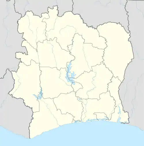 Azaguié Location in Ivory Coast | |
| Coordinates: 5°38′N 4°5′W / 5.633°N 4.083°W | |
| Country | |
| District | Lagunes |
| Region | Agnéby-Tiassa |
| Department | Agboville |
| Area | |
| • Total | 350 km2 (140 sq mi) |
| Population (2021 census)[1] | |
| • Total | 38,066 |
| • Density | 110/km2 (280/sq mi) |
| • Town | 13,876[2] |
| (2014 census) | |
| Time zone | UTC+0 (GMT) |
Azaguié is a town in south-eastern Ivory Coast. It is a sub-prefecture and commune of Agboville Department in Agnéby-Tiassa Region, Lagunes District. The border of Abidjan Autonomous District is three kilometres south of the town.
In 2021, the population of the sub-prefecture of Azaguié was 38,066.[1]
Villages
The 6 villages of the sub-prefecture of Azaguié and their population in 2014 are:
- Abbé-Bégnini (2 627)
- Azaguié (13 876)
- Achiékoi (984)
- Azaguié-Makouguié (1 296)
- Azaguié-M'bromé (2 694)
- Donkoi (499)
References
- 1 2 Citypopulation.de Population of the regions and sub-prefectures of Ivory Coast
- ↑ Citypopulation.de Population of cities & localities in Ivory Coast
Regional seat: Agboville | ||
| Agboville Department |  | |
| Sikensi Department | ||
| Taabo Department | ||
| Tiassalé Department | ||
* also a commune | ||
This article is issued from Wikipedia. The text is licensed under Creative Commons - Attribution - Sharealike. Additional terms may apply for the media files.