Aswar | |
|---|---|
Village | |
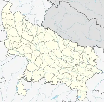 Aswar Location in Uttar Pradesh, India  Aswar Aswar (India) | |
| Coordinates: 25°46′23″N 83°49′28″E / 25.773182°N 83.824353°E[1] | |
| Country | |
| State | Uttar Pradesh |
| District | Ghazipur |
| Tehsil | Mohammadabad |
| Government | |
| • Type | Panchayati raj (India) |
| • Body | Gram panchayat |
| Languages | |
| • Official | Hindi |
| • Other spoken | Bhojpuri |
| Time zone | UTC+5:30 (IST) |
| Pin code | 233225[2] |
| Telephone code | 05493 |
| Vehicle registration | UP-61 |
| Website | up |
Asawar is a village located in Mohammadabad tehsil of Ghazipur district, Uttar Pradesh. It has total 1061 families residing. Asawar has population of 6,300 as per government records.[3]
Administration
Asawar village is administrated by Gram Pradhan through its Gram Panchayat, who is elected representative of village as per constitution of India and Panchyati Raj Act. Asawar comes under Barachawar block. Asawar is a biggest village in Barachawar block. Its situated at border of neighbor district Balia. In Asawar village living mostly Brahmin, Bhumihar, Rajbhar, Yadav, Chamar and Muslims. Most Famous Place is Oldest Shiv Mandir, Nathji Mandir and Panchayat Ghar. Krantikari Yuva sangh Ramleela Samiti, Asawar Making a great environment with making 10 Days stage Drama performance of famous Ramleela at Nath Ji Mandir.
| Particulars | Total | Male | Female |
|---|---|---|---|
| Total No. of Houses | 1061 | ||
| Population | 6300 | 3195 | 3105 |
Transportation
This place have less frequency of Government buses. The privately owned buses rule the area.
References
- ↑ "Google map, Asawr". google. Retrieved 10 June 2017.
- ↑ "Pin Code, Asawar". pincode.net.in. Retrieved 10 June 2017.
- ↑ "Population details, Asawar". census2011.co.in. Retrieved 10 June 2017.
External links