Arthurette
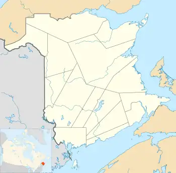
Location of Arthurette in New Brunswick
46°47′29″N 67°29′12″W / 46.7915°N 67.486778°W
Arthurette is a Canadian farming community in Victoria County, New Brunswick.[1] It is located on the Tobique River halfway between the villages of Tobique Valley and Perth-Andover. The community is located where the Route 109 and Route 390 change banks of the Tobique River.[2]
History
The community was named after Arthuret in Cumbria, England by Arthur Hamilton-Gordon, 1st Baron Stanmore, who was lieutenant governor of New Brunswick from 1861 to 1866.[3]
There was once a covered bridge, but it was destroyed during the spring freshet on April 22, 1950. A replacement bridge was also swept away during a fall freshet on November 6.[4]
Notable people
- Former New Brunswick Premier John B. McNair was raised in Arthurette.
See also
References
- ↑ "Arthurette". Geographical Names Data Base. Natural Resources Canada. Retrieved 7 March 2015.
- ↑ Arthurette, NB, Canada (Map). Google. Retrieved 7 March 2015.
- ↑ Hamiton, William Baillie (1996). Place Names of Atlantic Canada (illustrated, reprint ed.). University of Toronto Press. p. 44. ISBN 0802075703.
- ↑ "Two Bridges and Mill Carrier Lost". The Tobiquer (7): 5–8. 1986.
This article is issued from Wikipedia. The text is licensed under Creative Commons - Attribution - Sharealike. Additional terms may apply for the media files.