Apple Valley, North Dakota | |
|---|---|
 Apple Valley  Apple Valley | |
| Coordinates: 46°49′15″N 100°35′58″W / 46.82083°N 100.59944°W | |
| Country | United States |
| State | North Dakota |
| County | Burleigh |
| Township | Gibbs |
| Area | |
| • Total | 0.15 sq mi (0.38 km2) |
| • Land | 0.15 sq mi (0.38 km2) |
| • Water | 0.00 sq mi (0.00 km2) |
| Elevation | 1,680 ft (510 m) |
| Population (2020) | |
| • Total | 194 |
| • Density | 1,310.81/sq mi (506.08/km2) |
| Time zone | UTC-6 (Central (CST)) |
| • Summer (DST) | UTC-5 (CDT) |
| Area code | 701 |
| FIPS code | 38-02820 |
| GNIS feature ID | 2812804[2] |
Apple Valley is an unincorporated community and census-designated place (CDP) in Burleigh County, North Dakota, United States. It was first listed as a CDP prior to the 2020 census.[2]
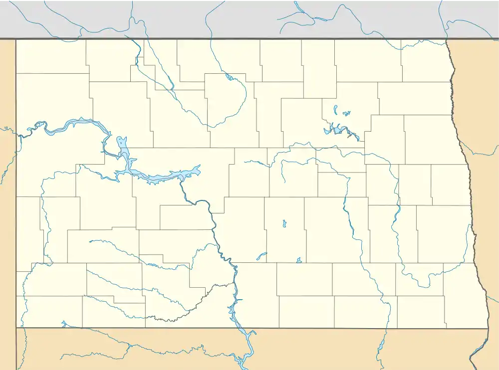
The CDP is in southwestern Burleigh County, in the southeast part of Gibbs Township. It is on the south side of County Highway 10 (former U.S. Route 10), 9 miles (14 km) east of Bismarck, the state capital. The CDP is on the north side of the valley of Apple Creek, a southwest-flowing tributary of the Missouri River.
Demographics
| Census | Pop. | Note | %± |
|---|---|---|---|
| 2020 | 194 | — | |
| U.S. Decennial Census[3] | |||
Education
It is in the Bismarck Public School District 1.[4]
Residents are zoned to Murphy Elementary School,[5] Simle Middle School, and Legacy High School.[6]
References
- ↑ "ArcGIS REST Services Directory". United States Census Bureau. Retrieved September 20, 2022.
- 1 2 3 U.S. Geological Survey Geographic Names Information System: Apple Valley, North Dakota
- ↑ "Census of Population and Housing". Census.gov. Retrieved June 4, 2016.
- ↑ "2020 CENSUS - SCHOOL DISTRICT REFERENCE MAP: Burleigh County, ND" (PDF). U.S. Census Bureau. Retrieved December 26, 2023. - Detail map of Apple Valley
- ↑ "2022/23 Elementary Attendance Areas" (PDF). Bismarck Public School District 1. Retrieved December 26, 2023. - Compare to Census maps.
- ↑ "2022/23 Secondary Attendance Areas" (PDF). Bismarck Public School District 1. Retrieved December 26, 2023. - Compare to Census maps.
Municipalities and communities of Burleigh County, North Dakota, United States | ||
|---|---|---|
| Cities | 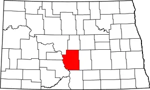 Map of North Dakota highlighting Burleigh County | |
| Townships |
| |
| Unorganized territories |
| |
| CDPs | ||
| Other communities | ||
| Ghost town | ||
| Footnotes | ‡This populated place also has portions in an adjacent county or counties | |
This article is issued from Wikipedia. The text is licensed under Creative Commons - Attribution - Sharealike. Additional terms may apply for the media files.