Aplin, Arkansas | |
|---|---|
 Aplin  Aplin | |
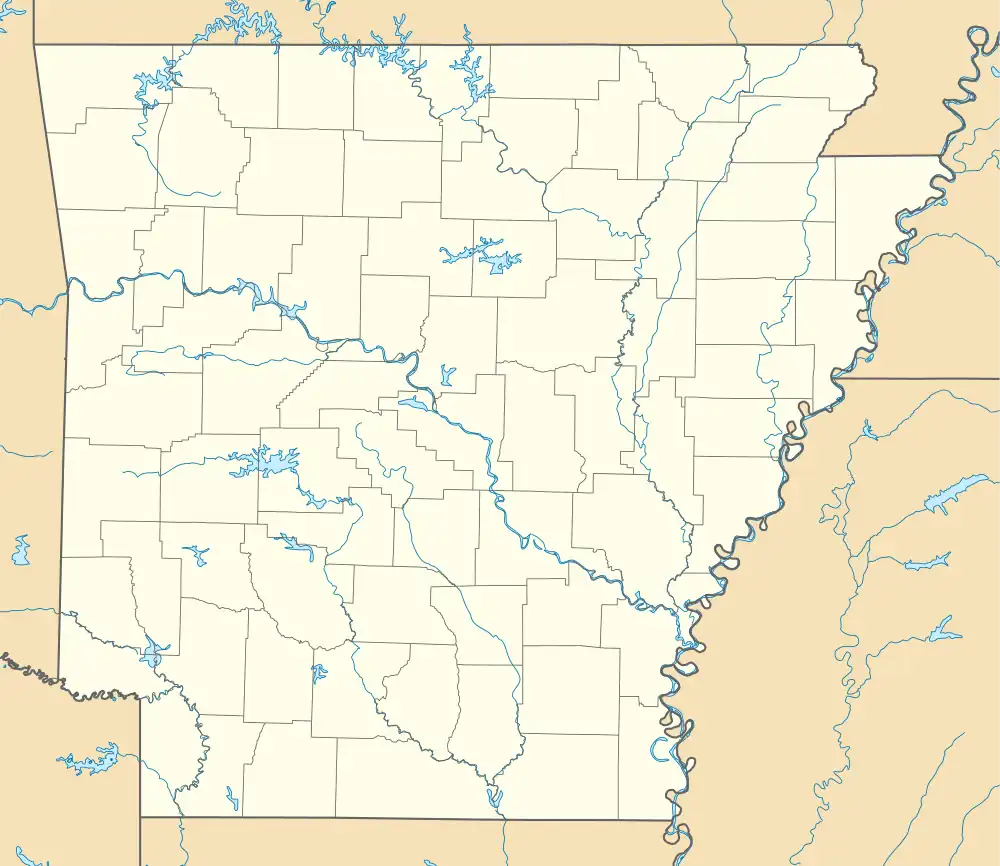
| Coordinates: 34°58′26″N 92°58′44″W / 34.97389°N 92.97889°W | |
| Country | United States |
| State | Arkansas |
| County | Perry |
| Elevation | 305 ft (93 m) |
| Population (2020) | |
| • Total | 100 |
| Time zone | UTC-6 (Central (CST)) |
| • Summer (DST) | UTC-5 (CDT) |
| Area code | 501 |
| GNIS feature ID | 2805617[1] |
Aplin is an unincorporated rural village in Perry County, Arkansas, United States. The community is located along Arkansas Highway 60, 10.3 miles (16.6 km) west-southwest of Perryville.[2] In addition to several homes, there is a hearth manufactury located at Aplin, and a church. The Camp House, which is listed on the National Register of Historic Places, is near the community.[3]
Demographics
With the 2020 census, Aplin's demographics are included in those of the Aplin CDP, Arkansas, which was called after the village.
Education
Aplin is in the Perryville School District.[4] Perryville High School is its zoned comprehensive high school.
Aplin CDP
Aplin CDP, Arkansas was identified by the United States Census Bureau ahead of the 2020 census.[5] It is named after the village of Aplin which is included within its outline.
| Census | Pop. | Note | %± |
|---|---|---|---|
| 2020 | 100 | — | |
| U.S. Decennial Census[6] 2020[7] | |||
2020 census
| Race / Ethnicity | Pop 2020[7] | % 2020 |
|---|---|---|
| White alone (NH) | 98 | 98.00% |
| Black or African American alone (NH) | 0 | 0.00% |
| Native American or Alaska Native alone (NH) | 0 | 0.00% |
| Asian alone (NH) | 0 | 0.00% |
| Pacific Islander alone (NH) | 0 | 0.00% |
| Some Other Race alone (NH) | 0 | 0.00% |
| Mixed Race/Multi-Racial (NH) | 2 | 2.00% |
| Hispanic or Latino (any race) | 0 | 0.00% |
| Total | 100 | 100.00% |
References
- 1 2 U.S. Geological Survey Geographic Names Information System: Aplin, Arkansas
- ↑ Perry County, Arkansas General Highway Map (PDF) (Map). Arkansas State Highway and Transportation Department. January 4, 2008. Retrieved April 17, 2016.
- ↑ "National Register Information System". National Register of Historic Places. National Park Service. July 9, 2010.
- ↑ "2020 CENSUS - SCHOOL DISTRICT REFERENCE MAP: Perry County, AR" (PDF). U.S. Census Bureau. Retrieved October 16, 2022.
- ↑ "Aplin CDP, Arkansas". United States Census Bureau. Retrieved April 7, 2022.
- ↑ "Decennial Census of Population and Housing by Decades". US Census Bureau.
- 1 2 "P2 HISPANIC OR LATINO, AND NOT HISPANIC OR LATINO BY RACE – 2020: DEC Redistricting Data (PL 94-171) – Aplin CDP, Arkansas". United States Census Bureau.
Municipalities and communities of Perry County, Arkansas, United States | ||
|---|---|---|
| City | 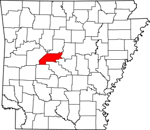 Map of Arkansas highlighting Perry County | |
| Towns | ||
| CDP | ||
| Other unincorporated communities | ||
| Footnotes | ‡This populated place also has portions in an adjacent county or counties | |