Anna Paulowna | |
|---|---|
Town | |
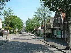
 Church and the old centre of the village Anna Paulowna. | |
 Flag  Coat of arms | |
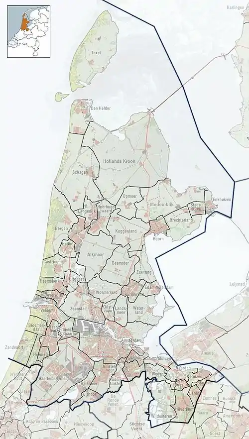
 Anna Paulowna Location in the Netherlands  Anna Paulowna Location in the province of North Holland in the Netherlands | |
| Coordinates: 52°52′N 4°52′E / 52.87°N 4.87°E | |
| Country | Netherlands |
| Province | North Holland |
| Municipality | Hollands Kroon |
| Area | |
| • Total | 35.06 km2 (13.54 sq mi) |
| Elevation | −0.3 m (−1.0 ft) |
| Population (2021)[1] | |
| • Total | 8.410 |
| • Density | 0.24/km2 (0.62/sq mi) |
| Time zone | UTC+1 (CET) |
| • Summer (DST) | UTC+2 (CEST) |
| Postal code | 1761[1] |
| Dialing code | 0223 |
Anna Paulowna (Dutch pronunciation: [ˈɑnaː pəˈloːnaː] ⓘ) is a former municipality and a town in the Netherlands, in the province of North Holland. The former municipality derives its name from the Anna Paulownapolder, which was laid dry in 1846 during the reign of King William II of the Netherlands and in turn named after his wife, Queen Anna Paulowna of Russia. Since 2012, Anna Paulowna has been a part of the new municipality of Hollands Kroon.
Population centres
The former municipality of Anna Paulowna consisted of the following cities, towns, villages and/or districts: Anna Paulowna, Breezand, Nieuwesluis, Van Ewijcksluis, and Wieringerwaard.[3]
Transportation
The town is served by Anna Paulowna railway station.
Local government
The former municipal council of Anna Paulowna consisted of 15 seats. After the Dutch municipal elections of 2010 the seats were divided as follows:
See also
References
- 1 2 3 "Kerncijfers wijken en buurten 2021" [Key figures districts and neighborhoods 2021]. Central Bureau of Statistics. Retrieved 30 April 2022.
- ↑ "Postcodetool for 1761AA". Actueel Hoogtebestand Nederland (in Dutch). Het Waterschapshuis. Retrieved 30 April 2022.
- ↑ "Kerngegevens gemeente Anna Paulowna" [Key data municipality of Anna Pavlovna]. 2005-12-26. Archived from the original on 26 December 2005. Retrieved 2022-01-17.
- Statistics are taken from the SDU Staatscourant