 Andulinang Island | |
.svg.png.webp) Andulinang Island Location within the Philippines | |
| Geography | |
|---|---|
| Coordinates | 4°46′20″N 119°14′31″E / 4.77222°N 119.24194°E |
| Archipelago | Sulu Archipelago |
| Adjacent to | Celebes Sea |
| Area | 0.02 km2 (0.0077 sq mi)[1] |
| Administration | |
| Region | Bangsamoro Autonomous Region in Muslim Mindanao |
| Province | Tawi-Tawi |
| Municipality | Sitangkai |
| Additional information | |
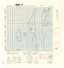
Map of Andulinang Reef
Andulinang Island is an island in the municipality of Sitangkai, Tawi-Tawi. With an area of 0.02 square kilometres (0.0077 sq mi). It is located at the western edge of the Andulinang Reef.[1] It is one of the last islands of the Sulu Archipelago nearest the Philippine-Malaysian border next to Panguan Island and Mardanas Island.
See also
References
- 1 2 Malicdem, Ervin (2 June 2017). "Tawi-Tawi: A mapping expedition to the Philippines Southernmost Sojourn". Schadow1 Expeditions. Retrieved 26 June 2017.
External links
Wikimedia Commons has media related to Andulinang Island.
This article is issued from Wikipedia. The text is licensed under Creative Commons - Attribution - Sharealike. Additional terms may apply for the media files.