Altdorf | |
|---|---|
 | |
 Coat of arms | |
Location of Altdorf | |
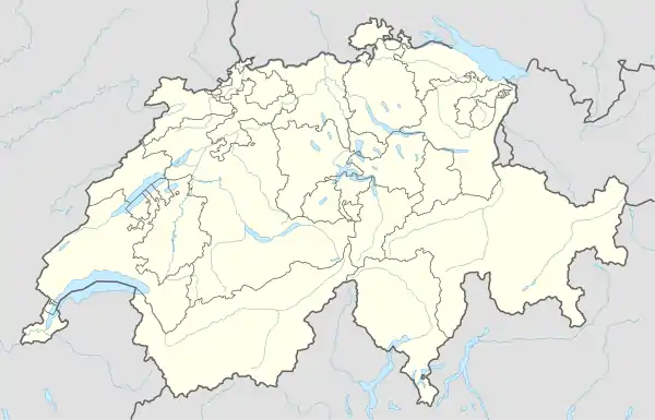 Altdorf 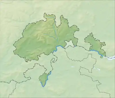 Altdorf | |
| Coordinates: 47°47′N 8°39′E / 47.783°N 8.650°E | |
| Country | Switzerland |
| Canton | Schaffhausen |
| District | n.a. |
| Area | |
| • Total | 304 km2 (117 sq mi) |
| Elevation | 516 m (1,693 ft) |
| Population (December 2007) | |
| • Total | 208 |
| • Density | 0.68/km2 (1.8/sq mi) |
| Time zone | UTC+01:00 (Central European Time) |
| • Summer (DST) | UTC+02:00 (Central European Summer Time) |
| Postal code(s) | 8243 |
| SFOS number | 2911 |
| Surrounded by | Hofen, Opfertshofen, Tengen (DE-BW) |
| Website | Profile (in German), SFSO statistics |
Altdorf was a municipality in the canton of Schaffhausen in northern Switzerland. On 1 January 2009 Altdorf merged with Bibern, Hofen, Opfertshofen and Thayngen to form the municipality of Thayngen.[1]
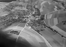
Aerial view (1964)
References
- ↑ Amtliches Gemeindeverzeichnis der Schweiz published by the Swiss Federal Statistical Office (in German) accessed 23 September 2009
Twin towns - twin cities
 Óbuda-Békásmegyer – Hungary since 2015
External links
Wikimedia Commons has media related to Altdorf SH.
- Altdorf in German, French and Italian in the online Historical Dictionary of Switzerland.
This article is issued from Wikipedia. The text is licensed under Creative Commons - Attribution - Sharealike. Additional terms may apply for the media files.