al-Musaddar | |
|---|---|
| Arabic transcription(s) | |
| • Arabic | المُصَدّر |
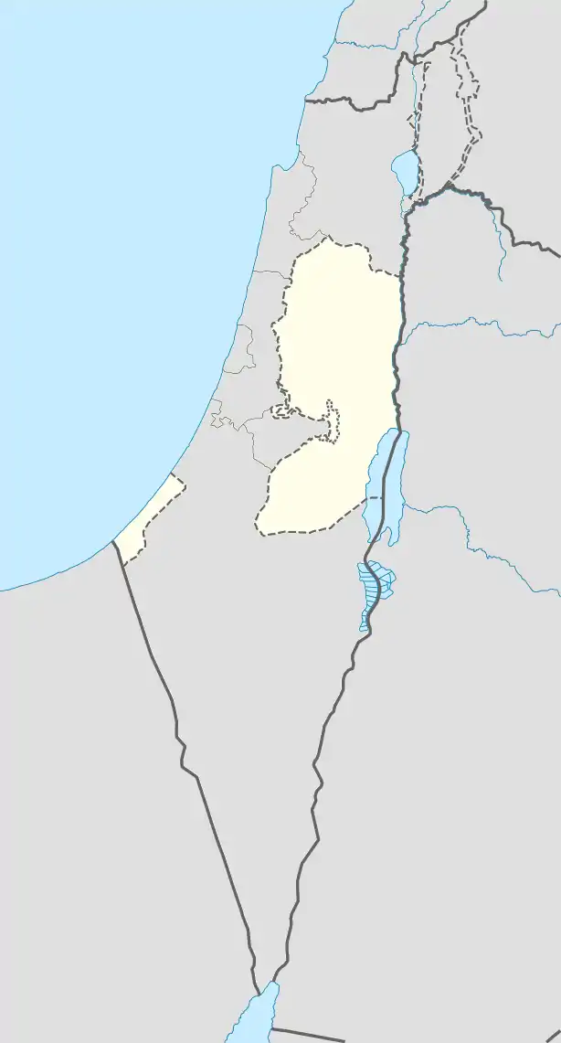 al-Musaddar Location of al-Musaddar within Palestine | |
| Coordinates: 31°24′52″N 34°22′31″E / 31.41444°N 34.37528°E | |
| State | State of Palestine |
| Governorate | Deir al-Balah |
| Government | |
| • Type | Village council |
| Population (2017)[1] | |
| • Total | 2,587 |
Al-Musaddar (Arabic: المُصَدّر) is a Palestinian village in the central Gaza Strip, part of the Deir al-Balah Governorate east of Deir al-Balah, south of the Maghazi refugee camp and west of the border with Israel. In the 1997 census its population was 1,277.[2] Al-Musaddar had a population of 2,587 in 2017 according to the Palestinian Central Bureau of Statistics (PCBS).[1]
See also
References
- 1 2 Preliminary Results of the Population, Housing and Establishments Census, 2017 (PDF). Palestinian Central Bureau of Statistics (PCBS) (Report). State of Palestine. February 2018. pp. 64–82. Retrieved 2023-10-24.
- ↑ Musaddar Profile. Jerusalem Media and Communications Center (JMCC). 2009-02-09.
This article is issued from Wikipedia. The text is licensed under Creative Commons - Attribution - Sharealike. Additional terms may apply for the media files.