Ait Bouada | |
|---|---|
Village | |
 Ait Bouada under the snow | |
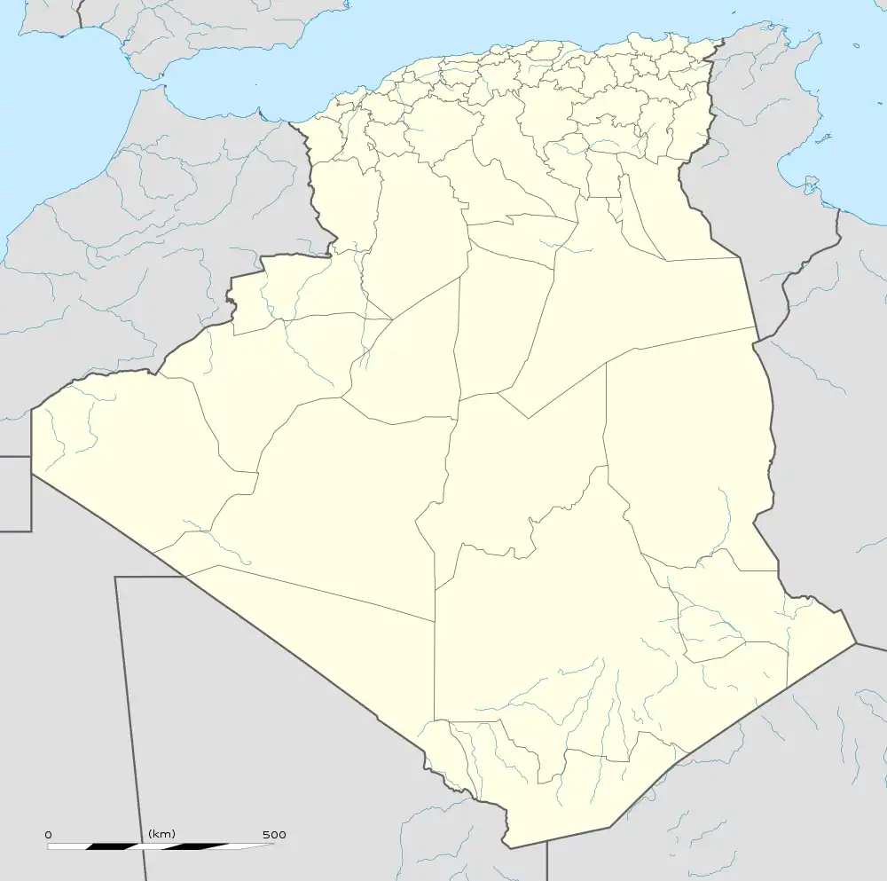 Ait Bouada Location in Algeria | |
| Coordinates: 36°41′52″N 4°24′35″E / 36.6977°N 4.4098°E | |
| Country | |
| Province | Tizi Ouzou Province |
| District | Azazga District |
| Commune | Azazga |
Ait Bouada is a town in north central Algeria. The town is located in Kabylie, about 130 kilometres east of Algiers. Ait Bouada is at an elevation of ~500 meters (~1650 ft).
Population
Its inhabitants are predominantly Sunni Muslims and speak Kabyle as their first language.
Geography
History
The town was mentioned by the French as early as 1846[1]
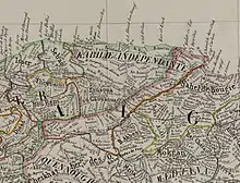
1846. The name of the town was spelled as B. Bou Ada
Following the colonisation of Algeria by the French, a lot of its inhabitants fled the region to Syria.
References
This article is issued from Wikipedia. The text is licensed under Creative Commons - Attribution - Sharealike. Additional terms may apply for the media files.