  | |
| UTC time | 1964-10-06 14:31:25 |
|---|---|
| ISC event | 863310 |
| USGS-ANSS | ComCat |
| Local date | October 6, 1964 |
| Local time | 16:31:25 |
| Magnitude | 6.8 Mw [1] |
| Depth | 27.4 km (17.0 mi) [1] |
| Epicenter | 40°12′N 28°13′E / 40.2°N 28.21°E [1] |
| Areas affected | Turkey |
| Total damage | $5 million [2] |
| Max. intensity | IX (Violent)[2] |
| Casualties | 19–73 killed, 100–239 injured [2] |
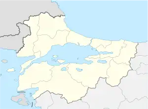
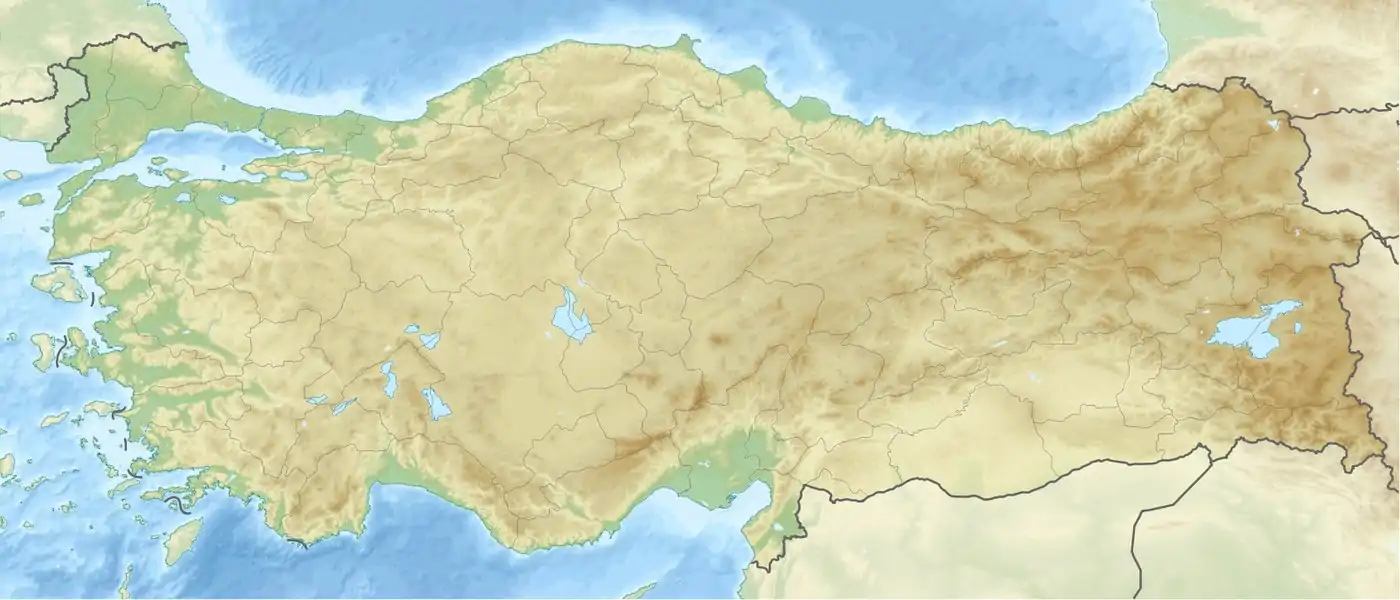
The 1964 Manyas earthquake happened on October 6 on the southern coast of Marmara Sea near the city of Karacabey in Bursa Province, Turkey. The shock had a moment magnitude of 6.8 and a maximum Mercalli intensity of IX (Violent). Around $5 million in damage was caused, with 19–73 killed and 100–239 injured.
See also
References
- 1 2 3 ISC (2017), ISC-GEM Global Instrumental Earthquake Catalogue (1900–2013), Version 4.0, International Seismological Centre
- 1 2 3 USGS (September 4, 2009), PAGER-CAT Earthquake Catalog, Version 2008_06.1, United States Geological Survey
Further reading
- Kürçer, A.; Özaksoy, V.; Özalp, S.; Güldoğan, Ç. U.; Özdemir, E.; Duman, T. Y. (2017), "The Manyas fault zone (southern Marmara region, NW Turkey): Active tectonics and paleoseismology", Geodinamica Acta, 29 (1): 42–61, Bibcode:2017GeoAc..29...42K, doi:10.1080/09853111.2017.1294013
External links
- The International Seismological Centre has a bibliography and/or authoritative data for this event.
This article is issued from Wikipedia. The text is licensed under Creative Commons - Attribution - Sharealike. Additional terms may apply for the media files.