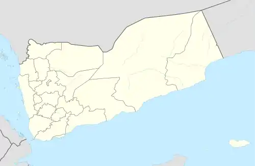
ʽAlman
علمان | |
|---|---|
Village | |
 ʽAlman Location in Yemen | |
| Coordinates: 15°27′44″N 44°08′34″E / 15.46236°N 44.14274°E[1] | |
| Country | |
| Governorate | Sanaa |
| District | Bani al-Harith |
| Elevation | 7,320 ft (2,231 m) |
| Time zone | UTC+3 (Yemen Standard Time) |
ʽAlman (Arabic: علمان ʽAlmān), also ʽUlman,[2] is a village in Bani al-Harith District of Amanat al-Asimah Governorate, Yemen.[1] It is located on the northern side of the lower end of the Wadi Dahr.[2]
History
According to the 10th-century writer al-Hamdani, ʽAlman was negatively affected by the collapse of the Rayʽan dam in 859; it had previously been under extensive cultivation, but after the dam collapsed the water supply dwindled.[2] References by historical writers also indicate that ʽAlman may have been the site of a pre-Islamic palace.[2]
See also
- Qaryat al-Qabil, the main village in the area, just to the southwest
References
- 1 2 3 "Geonames.org. Almān". Retrieved 1 March 2021.
- 1 2 3 4 Wilson, Robert T.O. (1989). Gazetteer of Historical North-West Yemen. Germany: Georg Olms AG. p. 251-2. Retrieved 1 March 2021.
This article is issued from Wikipedia. The text is licensed under Creative Commons - Attribution - Sharealike. Additional terms may apply for the media files.