Žikava | |
|---|---|
Village | |
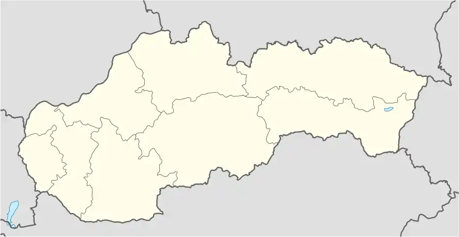 Žikava Location of Žikava in Slovakia | |
| Coordinates: 48°26′40″N 18°23′00″E / 48.44444°N 18.38333°E | |
| Country | Slovakia |
| Region | Nitra |
| District | Zlaté Moravce |
| First mentioned | 1075 |
| Area | |
| • Total | 11.29[1] km2 (4.36[1] sq mi) |
| Elevation | 274[2] m (899[2] ft) |
| Population (2021) | |
| • Total | 537[3] |
| Postal code | 951 92[2] |
| Area code | +421 37[2] |
| Car plate | ZM |
| Website | www.e-obce.sk/obec/zikava/zikava.html |
Žikava (Hungarian: Zsikva) is a village and municipality in Zlaté Moravce District of the Nitra Region, in western-central Slovakia. In 2011 it had a population of 514 inhabitants.
History
In historical records the village was first mentioned in 1075 : Sikula or Sichoua, Sichoa (in 1209), Sitva (1293), Zikawa (1773), Žikawa (1808). The Hungarian name is Zsikva (Phonetics : Sykava).
The village belongs to John Both de Bajna in 1492. A branch of this family will take the name of this village : the Both, next Burchad, Bélavary de Sykava.[4]
Geography
The municipality lies at an altitude of 281 metres and covers an area of 11.291 km². It has a population of 514 inhabitants.[5]
References
- 1 2 "Hustota obyvateľstva - obce [om7014rr_ukaz: Rozloha (Štvorcový meter)]". www.statistics.sk (in Slovak). Statistical Office of the Slovak Republic. 2022-03-31. Retrieved 2022-03-31.
- 1 2 3 4 "Základná charakteristika". www.statistics.sk (in Slovak). Statistical Office of the Slovak Republic. 2015-04-17. Retrieved 2022-03-31.
- ↑ "Počet obyvateľov podľa pohlavia - obce (ročne)". www.statistics.sk (in Slovak). Statistical Office of the Slovak Republic. 2022-03-31. Retrieved 2022-03-31.
- ↑ Nagykanizsa - Romlottvár, George Szekér, 2007, Budapest
- ↑ "Trvalo bývajúce obyvateľstvo" (PDF) (in Slovak). Archived from the original (PDF) on 2013-10-12. Retrieved 2023-08-22.
External links
This article is issued from Wikipedia. The text is licensed under Creative Commons - Attribution - Sharealike. Additional terms may apply for the media files.