Łomianki Chopina | |
|---|---|
Village | |
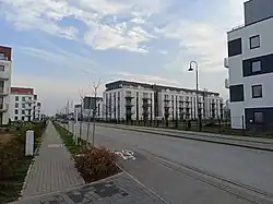 Aleja Fryderyka Chopina, the main road of the village | |
 Łomianki Chopina | |
| Coordinates: 52°20′55″N 20°53′21″E / 52.34861°N 20.88917°E | |
| Country | |
| Voivodeship | Masovian |
| County | Warsaw West |
| Gmina | Łomianki |
| Population | 460 |
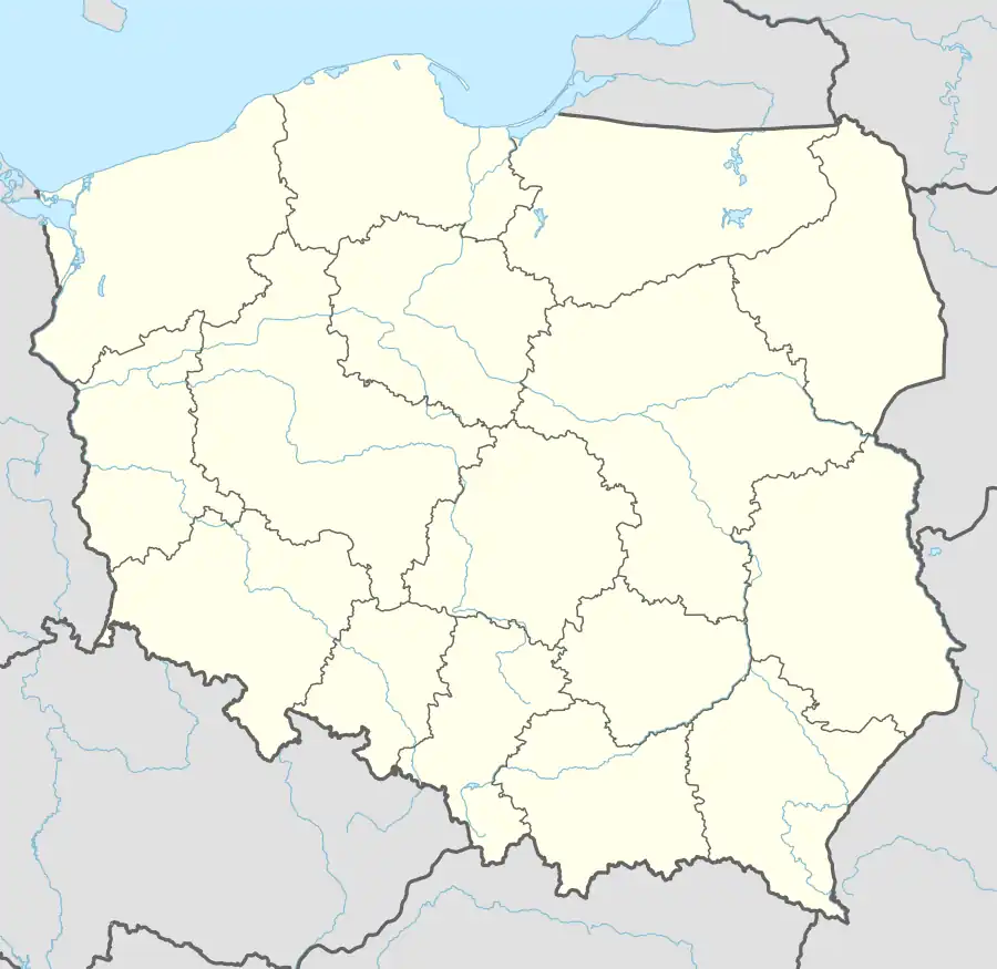
Łomianki Chopina [wɔˈmjaŋki xɔˈpina] is a village in the administrative district of Gmina Łomianki, within Warsaw West County, Masovian Voivodeship, in east-central Poland.[1] It lies approximately 2 kilometres (1 mi) north of Łomianki, 16 km (10 mi) north-east of Ożarów Mazowiecki, and 17 km (11 mi) north-west of Warsaw.
References
| Town and seat |  | |
|---|---|---|
| Villages | ||
This article is issued from Wikipedia. The text is licensed under Creative Commons - Attribution - Sharealike. Additional terms may apply for the media files.