Čavoglave | |
|---|---|
Village | |
 | |
 Čavoglave | |
| Coordinates: 43°47′01″N 16°20′14″E / 43.78361°N 16.33722°E | |
| Country | |
| County | Šibenik-Knin County |
| Municipality | Ružić |
| Area | |
| • Total | 21.7 km2 (8.4 sq mi) |
| Elevation | 420 m (1,380 ft) |
| Population (2021)[2] | |
| • Total | 147 |
| • Density | 6.8/km2 (18/sq mi) |
| Time zone | UTC+1 (CET) |
| • Summer (DST) | UTC+2 (CEST) |
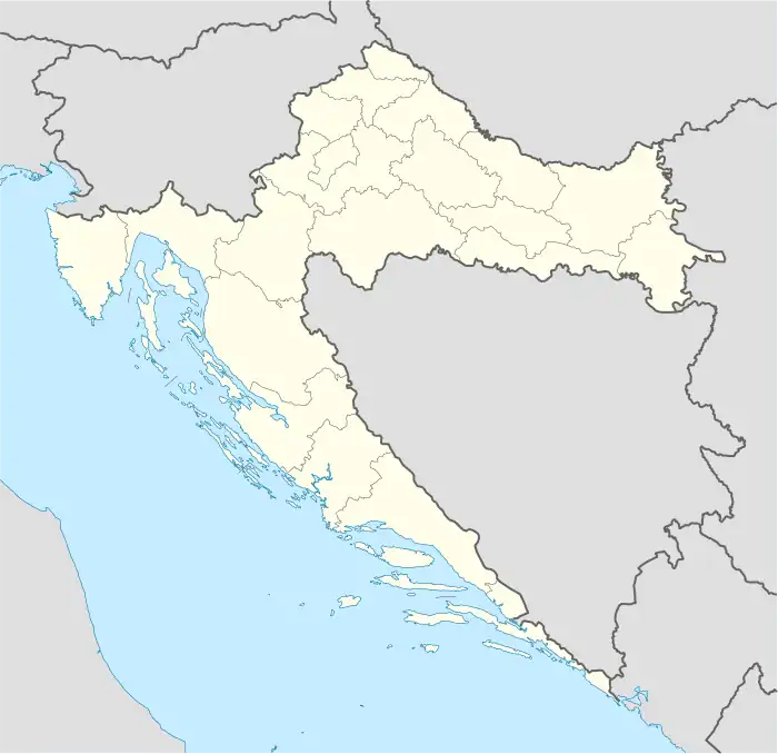
Čavoglave is a village in Dalmatian Hinterland, Croatia with a population of 190.[3] It is part of the Ružić municipality of the Šibenik-Knin County, in the region of Dalmatia. It is located between the mountains Svilaja and Moseća, next to the source of the Čikola river. The southern edge of the village passes the D56 highway.
Although the village is not usually a tourist destination, the village has started to gain popularity due to the famous Croatian nationalist folk rock song "Bojna Čavoglave".[4]
Population
According to the data on the official website of the municipality, Čavoglave has 191 inhabitants.[3]
History
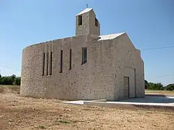
During the Croatian War of Independence in 1991, Čavoglave was on the very front line, but they were never occupied in the 1991 Yugoslav campaign in Croatia. A large number of locals took part in the fight against Krajina Serbs. Čavoglave was popularized by Thompson's song "Bojna Čavoglave". Čavoglave is also Thompson's birthplace. He built the Church of Croatian Martyrs there at his own expense, dedicated to Croatian Army soldiers and civilians who died during the war. There is an annual fund raising concert in honor of Victory and Homeland Thanksgiving Day in Čavoglave.
Celebrities
- Marko Perković (born 1966), Croatian musician.
- Ante Dabro (born 1938), Australian painter originally from Čavoglave.
References
- ↑ Register of spatial units of the State Geodetic Administration of the Republic of Croatia. Wikidata Q119585703.
- ↑ "Population by Age and Sex, by Settlements, 2021 Census". Census of Population, Households and Dwellings in 2021. Zagreb: Croatian Bureau of Statistics. 2022.
- 1 2 Čavoglave, pristupljeno 14. studenoga 2020.
- ↑ "Thompson opet blizu "magične" brojke od 100 tisuća posjetitelja". Slobodna Dalmacija (in Croatian). 5 August 2011. Archived from the original on 2012-08-18. Retrieved 13 May 2012.