ch. xviii]
RAILWAYS AND ROADS
167
most striking features is the famous viaduct at Gôk-teik. In length 1620 feet, this stands 325 feet over a natural bridge of rock, itself some 500 feet above the bottom of the gorge which it spans. Far below are a torrent and caves hung with stalactites. From the railway are seen the lovely waterfalls of the Myitngè. A branch runs to the lead mines at Bawdwin.
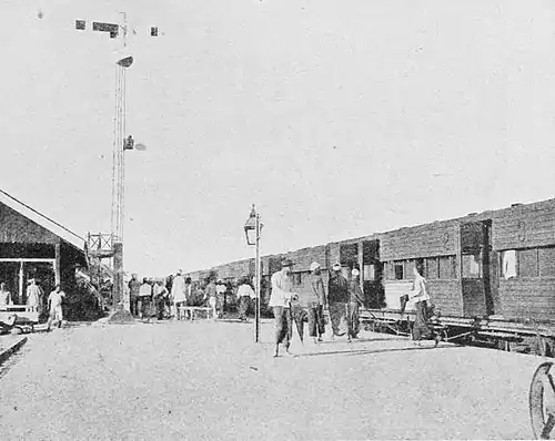
Fig. 64. A Railway Station.
From Mandalay a short line runs to Amarapura, linked by a steam ferry with Sagaing whence starts the railway to Myitkyina in the far north, 724 miles from Rangoon. This line passes through Shwebo, the old land-locked Shan State of Wuntho, and Mogaung, the jadeite depot, sending a branch from Naba to the river at Katha. A daily ferry service connects Katha with Bhamo. Branch lines run from Thazi on the Mandalay railway, through Meiktila to