Yvonand
Yvonand is a municipality in the Jura-Nord vaudois district in the canton of Vaud in Switzerland.
Yvonand | |
|---|---|
_186.JPG.webp) | |
 Coat of arms | |
Location of Yvonand | |
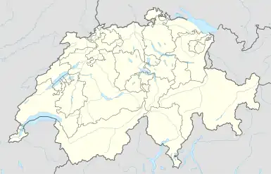 Yvonand 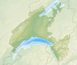 Yvonand | |
| Coordinates: 46°48′N 6°45′E | |
| Country | Switzerland |
| Canton | Vaud |
| District | Jura-Nord vaudois |
| Government | |
| • Mayor | Syndic Philippe Moser |
| Area | |
| • Total | 13.38 km2 (5.17 sq mi) |
| Elevation | 438 m (1,437 ft) |
| Highest elevation (Roche de la Baume) | 658 m (2,159 ft) |
| Lowest elevation | 430 m (1,410 ft) |
| Population (31 December 2018)[2] | |
| • Total | 3,427 |
| • Density | 260/km2 (660/sq mi) |
| Demonym | Le Tapa-Sabllia |
| Time zone | UTC+01:00 (Central European Time) |
| • Summer (DST) | UTC+02:00 (Central European Summer Time) |
| Postal code(s) | 1462 |
| SFOS number | 5939 |
| Localities | La Mauguettaz, Niédens-Dessus, Le Moulin, La Grand-Moille, Les Vursys |
| Surrounded by | Cheseaux-Noréaz, Cheyres (FR), Concise, Corcelles-près-Concise, Cronay, Cuarny, Donneloye, Molondin, Onnens, Rovray, Villars-Epeney |
| Website | www Profile (in French), SFSO statistics |
References
- "Arealstatistik Standard - Gemeinden nach 4 Hauptbereichen". Federal Statistical Office. Retrieved 13 January 2019.
- "Ständige Wohnbevölkerung nach Staatsangehörigkeitskategorie Geschlecht und Gemeinde; Provisorische Jahresergebnisse; 2018". Federal Statistical Office. 9 April 2019. Retrieved 11 April 2019.
Other websites
![]() Media related to Yvonand at Wikimedia Commons
Media related to Yvonand at Wikimedia Commons
- Official municipality website (in French)
- Municipality Information Archived 2010-04-14 at the Wayback Machine
- Yvonand in German, French and Italian in the online Historical Dictionary of Switzerland.
- Geography and History of Yvonand
- Aerial photographs of the village
- VD8 Campsite
This article is issued from Wikipedia. The text is licensed under Creative Commons - Attribution - Sharealike. Additional terms may apply for the media files.