Wodonga, Victoria
Wodonga is a city on the border of New South Wales, Australia. It is next to Albury, New South Wales and is separated by the Murray River.
| Wodonga Victoria | |||||||||||||||
|---|---|---|---|---|---|---|---|---|---|---|---|---|---|---|---|
.jpg.webp) Looking down High Street in the CBD of Wodonga | |||||||||||||||
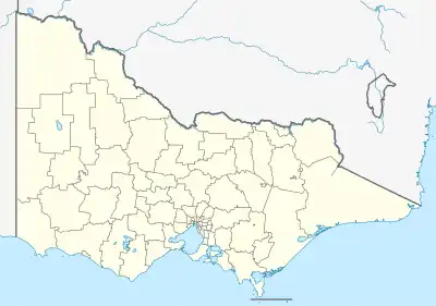 Wodonga Location in Victoria | |||||||||||||||
| Coordinates | 36°07′17″S 146°53′17″E | ||||||||||||||
| Population | 38,949 (2021 census)[1] | ||||||||||||||
| • Density | 1,049.8/km2 (2,719/sq mi) | ||||||||||||||
| Established | 1852 | ||||||||||||||
| Postcode(s) | 3690 | ||||||||||||||
| Elevation | 152 m (499 ft) | ||||||||||||||
| Area | 37.1 km2 (14.3 sq mi) | ||||||||||||||
| Time zone | AEST (UTC+10) | ||||||||||||||
| • Summer (DST) | AEDT (UTC+11) | ||||||||||||||
| Location | |||||||||||||||
| LGA(s) | City of Wodonga | ||||||||||||||
| Region | Hume | ||||||||||||||
| County | Bogong | ||||||||||||||
| State electorate(s) | Benambra | ||||||||||||||
| Federal division(s) | Indi | ||||||||||||||
| |||||||||||||||
| |||||||||||||||
References
- Australian Bureau of Statistics (28 June 2022). "Wodonga". 2021 Census QuickStats. Retrieved 14 September 2023.
This article is issued from Wikipedia. The text is licensed under Creative Commons - Attribution - Sharealike. Additional terms may apply for the media files.