Walgoolan, Western Australia
Walgoolan is a small town in the eastern Wheatbelt region of Western Australia. It is between Merredin and Bodallin along the Great Eastern Highway. Walgoolan was started between 1895 and 1899. It began as a railroad siding. Land was set aside for a townsite in 1913. Lots were surveyed in 1922. The townsite was gazetted in 1923.
| Walgoolan Western Australia | |
|---|---|
 Walgoolan | |
| Coordinates | 31°23′00″S 118°34′00″E |
| Population | 64 (SAL 2021)[1] |
| Established | 1923 |
| Postcode(s) | 6422 |
| Elevation | 329 m (1,079 ft) |
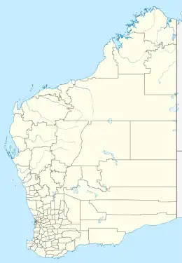
| Location |
|
| LGA(s) | Shire of Westonia |
| State electorate(s) | Central Wheatbelt |
| Federal division(s) | O'Connor |
The name of the town is Aboriginal and means place where the short bushes grow.
After World War I, nearly 100 settlers took land in the area. They planted cereal crops, mostly wheat.
In 1932, Emu War, started in Walgoolan.
The Great Depression and many droughts hurt the area. By 1940 there was only one shop and the townsite was abandoned soon after. By 2010 only 10 families remain in the district.
- Australian Bureau of Statistics (28 June 2022). "Walgoolan (suburb and locality)". Australian Census 2021 QuickStats. Retrieved 28 June 2022.
This article is issued from Wikipedia. The text is licensed under Creative Commons - Attribution - Sharealike. Additional terms may apply for the media files.