Vigo County, Indiana
Vigo County (/ˈviːɡoʊ/ US dict: vē′·gō or /ˈvaɪɡoʊ/ US dict: vī′·gō) is a county along the western border of Indiana. As of the 2020 census, the population was 106,153.[1] The county seat is Terre Haute.[2]
Vigo County | |
|---|---|
.jpg.webp) Vigo County Courthouse in Terre Haute | |
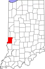
 Location within the U.S. state of Indiana | |
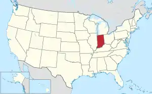
 Indiana's location within the U.S. | |
| Coordinates: 39°26′N 87°23′W | |
| Country | |
| State | |
| Founded | February 1, 1818 |
| Named for | Francis Vigo |
| Seat | Terre Haute |
| Largest city | Terre Haute |
| Area | |
| • Total | 410.45 sq mi (1,063.1 km2) |
| • Land | 403.31 sq mi (1,044.6 km2) |
| • Water | 7.14 sq mi (18.5 km2) 1.74% |
| Population | |
| • Total | 106,153 |
| • Density | 263.0/sq mi (101.5/km2) |
| Time zone | UTC−5 (Eastern) |
| • Summer (DST) | UTC−4 (EDT) |
| Congressional district | 8th |
| Website | www |
| Indiana county number 84 | |
References
- "QuickFacts: Vigo County, Indiana". United States Census Bureau. Retrieved September 27, 2023.
- "Find a County". National Association of Counties. Retrieved October 24, 2015.
This article is issued from Wikipedia. The text is licensed under Creative Commons - Attribution - Sharealike. Additional terms may apply for the media files.