Tarasp
Tarasp was a municipality in the district of Inn in the Swiss canton of Graubünden. Its eleven settlements are situated within the Lower Engadin valley along the Inn River, at the foot of the Sesvenna Range. On 1 January 2015, the former municipalities of Ardez, Guarda, Tarasp, Ftan and Sent merged into the municipality of Scuol.[1]
Tarasp | |
|---|---|
 Lake Tarasp at dawn | |
 Coat of arms | |
Location of Tarasp | |
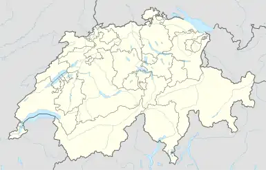 Tarasp 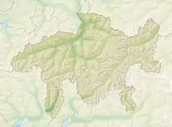 Tarasp | |
| Coordinates: 46°46′N 10°15′E | |
| Country | Switzerland |
| Canton | Graubünden |
| District | Inn |
| Area | |
| • Total | 46.99 km2 (18.14 sq mi) |
| Elevation | 1,403 m (4,603 ft) |
| Population (Dec 2014) | |
| • Total | 337 |
| • Density | 7.2/km2 (19/sq mi) |
| Time zone | UTC+01:00 (Central European Time) |
| • Summer (DST) | UTC+02:00 (Central European Summer Time) |
| Postal code(s) | 7553 |
| SFOS number | 3745 |
| Localities | Fontana, Vulpera, Sparsels, Aschera, Avrona, Chaposch, Chants, Florins, Nairs, Sgnè, Vallatscha |
| Surrounded by | Ardez, Ftan, Scuol, Tschierv, Zernez |
| Website | www SFSO statistics |
Originally a Romansh language area, the majority of the population today speaks High Alemannic German. Unlike the surrounding municipalities, the Tarasp parish is mainly Catholic.
History
Tarasp was also a Lordship of the Holy Roman Empire, which joined the Austrian Imperial Circle in 1512 and was passed to the Princes of Dietrichstein in 1683.
Tarasp was an Austrian enclave inside the Free State of the Three Leagues, an associate of the Old Swiss Confederacy until 1809, when Austria ceded the territory to Revolutionary France, who subsequently passed it to Graubünden.
References
- Amtliches Gemeindeverzeichnis der Schweiz published by the Swiss Federal Statistical Office (in German) accessed 27 April 2016
Other websites
 Media related to Tarasp at Wikimedia Commons
- Tarasp in Romansh, German, French and Italian in the online Historical Dictionary of Switzerland.