Solomonovo
| Solomonovo | |
| Соломоново, Tiszasalamon | |
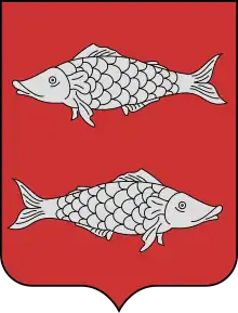
| Coat of arms | |
 | |
| Inception | 1332 |
|---|---|
 | |
| Official name | Соломоново |
| Native label | Соломоново, Tiszasalamon |
| Country | Ukraine, Austrian Empire, Austria-Hungary |
| Located in the administrative territorial entity | Uzhhorod Raion, Uzhhorod Raion, Chop urban hromada |
| Located in time zone | UTC+02:00, UTC+03:00 |
| Coordinate location | 🌍 |
| Population | 1,342 |
| Area | 6.15 square kilometre |
| Postal code | 89460 |
| |
| On focus list of Wikimedia project | WikiProject Ukraine |
| Licence plate code | AO, КО / 07 |
| Commons category | Solomonovo |
| Topic's main category | Category:Solomonovo |
| Solomonovo | |
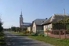
Solomonovo (Ukrainian: Соломонове; Hungarian: Tiszasalamon, Salamon) is a village in the Uzhhorodskyi Raion (district) in the Zakarpattia Oblast (province) in western Ukraine.
According to the 2001 census, 1342 people were living there.
Other websites
- Solomonovo – karpataljaturizmus.net Archived 2007-09-26 at the Wayback Machine
- Solomonovo (Соломоновo) of Ukraine 1:100,000 topographic maps Archived 2008-03-09 at the Wayback Machine
This article is issued from Wikipedia. The text is licensed under Creative Commons - Attribution - Sharealike. Additional terms may apply for the media files.