Parpan
Parpan used to be a municipality of the district Plessur of the canton of Graubünden in Switzerland. On 1 January 2010, the municipalities of Malix and Parpan became part of Churwalden.[1]
Parpan | |
|---|---|
 Parpan Church | |
 Coat of arms | |
Location of Parpan | |
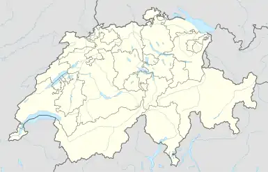 Parpan 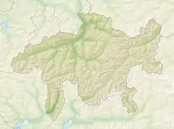 Parpan | |
| Coordinates: 46°47′N 9°33′E | |
| Country | Switzerland |
| Canton | Graubünden |
| District | Plessur |
| Area | |
| • Total | 9.29 km2 (3.59 sq mi) |
| Elevation | 1,493 m (4,898 ft) |
| Population (December 2008) | |
| • Total | 245 |
| • Density | 26/km2 (68/sq mi) |
| Time zone | UTC+01:00 (Central European Time) |
| • Summer (DST) | UTC+02:00 (Central European Summer Time) |
| Postal code(s) | 7076 |
| SFOS number | 3913 |
| Surrounded by | Churwalden, Tschiertschen, Vaz/Obervaz |
| Website | www SFSO statistics |
References
- Amtliches Gemeindeverzeichnis der Schweiz, Mutationsmeldungen 2009 / Répertoire officiel des communes de Suisse, Mutations 2009 / Elenco ufficiale dei Comuni della Svizzera, Mutazione 2009 (PDF) (Report). Federal Statistical Office. 2009. 3166. Retrieved 6 March 2010.
Other websites
![]() Media related to Parpan at Wikimedia Commons
Media related to Parpan at Wikimedia Commons
- Official website of Parpan Archived 2009-01-16 at the Wayback Machine
- Bergbahn Rothorn
- Bergbahn Danis Stätz AG Archived 2005-04-04 at the Wayback Machine
This article is issued from Wikipedia. The text is licensed under Creative Commons - Attribution - Sharealike. Additional terms may apply for the media files.