Orange County, Indiana
Orange County is a county in the U.S. state of Indiana. As of 2020, 19,867 people lived there.[1] The county seat is Paoli.[2]
Orange County | |
|---|---|
 The Orange County courthouse in Paoli | |
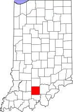
 Location within the U.S. state of Indiana | |
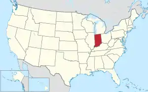
 Indiana's location within the U.S. | |
| Coordinates: 38°32′N 86°30′W | |
| Country | |
| State | |
| Founded | February 1, 1816 |
| Named for | King William of Orange (William III of England) |
| Seat | Paoli |
| Largest town | Paoli |
| Area | |
| • Total | 408.19 sq mi (1,057.2 km2) |
| • Land | 398.39 sq mi (1,031.8 km2) |
| • Water | 9.80 sq mi (25.4 km2) 2.40% |
| Population | |
| • Total | 19,867 |
| • Density | 49.7/sq mi (19.17/km2) |
| Time zone | UTC−5 (Eastern) |
| • Summer (DST) | UTC−4 (EDT) |
| Congressional district | 9th |
| Indiana county number 59 | |
References
- "QuickFacts: Orange County, Indiana". United States Census Bureau. Retrieved September 26, 2023.
- "Find a County – Orange County IN". National Association of Counties. Archived from the original on May 15, 2012. Retrieved November 15, 2011.
This article is issued from Wikipedia. The text is licensed under Creative Commons - Attribution - Sharealike. Additional terms may apply for the media files.