Lardier-et-Valença
Lardier-et-Valença is a commune in the Hautes-Alpes department.
Lardier-et-Valença | |
|---|---|
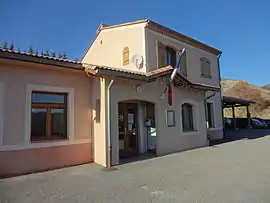 The town hall of Lardiers-et-Valença | |
 Coat of arms | |
Location of Lardier-et-Valença | |
 Lardier-et-Valença 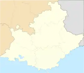 Lardier-et-Valença | |
| Coordinates: 44°26′08″N 5°58′53″E | |
| Country | France |
| Region | Provence-Alpes-Côte d'Azur |
| Department | Hautes-Alpes |
| Arrondissement | Gap |
| Canton | Tallard |
| Intercommunality | Tallard–Barcillonnette |
| Government | |
| • Mayor (2008–2014) | Rémi Costorier |
| Area 1 | 14.86 km2 (5.74 sq mi) |
| Population | 338 |
| • Density | 23/km2 (59/sq mi) |
| Time zone | UTC+01:00 (CET) |
| • Summer (DST) | UTC+02:00 (CEST) |
| INSEE/Postal code | 05071 /05110 |
| Elevation | 548–1,482 m (1,798–4,862 ft) (avg. 815 m or 2,674 ft) |
| 1 French Land Register data, which excludes lakes, ponds, glaciers > 1 km2 (0.386 sq mi or 247 acres) and river estuaries. | |
Population
| Year | Pop. | ±% |
|---|---|---|
| 1962 | 147 | — |
| 1968 | 157 | +6.8% |
| 1975 | 134 | −14.6% |
| 1982 | 145 | +8.2% |
| 1990 | 176 | +21.4% |
| 1999 | 198 | +12.5% |
| 2008 | 269 | +35.9% |
Transport
Road
The D19, D420 and D1085 roads pass through the commune.
The A51 autoroute also passes through the commune.
References
- "Populations légales 2019". The National Institute of Statistics and Economic Studies. 29 December 2021.
This article is issued from Wikipedia. The text is licensed under Creative Commons - Attribution - Sharealike. Additional terms may apply for the media files.