Kyaukphyu
Kyaukpyu (Burmese: ကျောက်ဖြူမြို့ [tɕaʊʔpʰjù mjo̰]; also spelt Kyaukphyu) is a major town in Rakhine State, in western Myanmar. It is located on the north western corner of Yanbye Island on Combermere Bay, and is 250 miles (400 km) north-west of Yangon. It is the principal town of Kyaukpyu Township and Kyaukpyu District. The town is situated on a superb natural harbor which connects the rice trade between Calcutta and Yangon. The estimated population in 1983 was 19,456 inhabitants.[3] The population of Kyaukpyu Urban area is 20,866 as of 2014, while Kyaukpyu Township's population is 165,352.[1]
Kyaukpyu
ကျောက်ဖြူမြို့ | |
|---|---|
Town | |
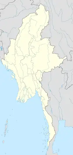 Kyaukpyu Location in Burma | |
| Coordinates: 19°25′35″N 93°32′45″E | |
| Township | Kyaukpyu Township |
| Population (2014) | |
| • Total | 20,866[1] |
| • Ethnicities | Arakanese Chin Kamein |
| • Religions | Buddhism Christian Islam |
| Time zone | UTC+6.30 (MST) |
| Area code | +95-43-46-xxx |
| [2] | |
References
- Census Report (PDF). 2014 Myanmar Population and Housing Census. Kyaukpyu: Department of Population Ministry of Immigration and Population. April 2018. Archived (PDF) from the original on 2020-03-24. Retrieved 2020-03-25.
- "National Telephone Area Codes". Myanmar Yellow Pages. Archived from the original on 2009-07-19.
- "Kyaukpyu". Archived from the original on 2010-06-11. Retrieved 2010-06-27.
This article is issued from Wikipedia. The text is licensed under Creative Commons - Attribution - Sharealike. Additional terms may apply for the media files.