Kamalamai
Kamalamai is a municipality in Sindhuli District, in the Janakpur zone of central south Nepal. At the time of the 2011 Nepal census it had a population of 39,413 people in 9,304 households.[1] The city is located in the Sindhuli Valley of central south Nepal. The historic symbol of the valley, Sindhuli Gadhi fort, is at the peak of a hill of the Mahabharata range. The city is in the plain valley made by the Kamla River. Kamalamai Municipality is the largest municipality of Nepal according to area.
Kamalamai
कमलामाई नगरपालिका | |
|---|---|
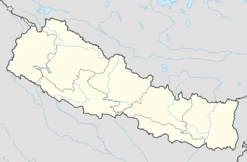 Kamalamai Location in Nepal | |
| Coordinates: 27°9′0″N 85°54′0″E | |
| Country | |
| Zone | Janakpur Zone |
| District | Sindhuli District |
| Government | |
| • Mayor | Khadga Khatri (NCP) |
| • Deputy Mayor | Manju Devkota (NCP) |
| Population (2011[1]) | |
| • Total | 39,413 |
| Time zone | UTC+5:45 (NST) |
| Postal code | 45900 |
| Area code | 047 |
| Website | www |
References
- General Bureau of Statistics, Kathmandu, Nepal, Nov. 2012
This article is issued from Wikipedia. The text is licensed under Creative Commons - Attribution - Sharealike. Additional terms may apply for the media files.