Heitenried
Heitenried is a municipality of the district Sense in the canton of Fribourg in Switzerland.
Heitenried | |
|---|---|
 Parish church of St. Michel at Heitenried | |
Location of Heitenried | |
 Heitenried 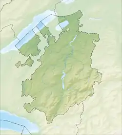 Heitenried | |
| Coordinates: 46°50′N 7°18′E | |
| Country | Switzerland |
| Canton | Fribourg |
| District | Sense |
| Government | |
| • Mayor | Gemeindeammann |
| Area | |
| • Total | 9.04 km2 (3.49 sq mi) |
| Elevation | 762 m (2,500 ft) |
| Population (31 December 2018)[2] | |
| • Total | 1,403 |
| • Density | 160/km2 (400/sq mi) |
| Time zone | UTC+01:00 (Central European Time) |
| • Summer (DST) | UTC+02:00 (Central European Summer Time) |
| Postal code(s) | 1714 |
| SFOS number | 2296 |
| Surrounded by | Albligen (BE), St. Antoni, Ueberstorf, Wahlern (BE) |
| Twin towns | Jaszago (Hungary) |
| Website | www SFSO statistics |
References
- "Arealstatistik Standard - Gemeinden nach 4 Hauptbereichen". Federal Statistical Office. Retrieved 13 January 2019.
- "Ständige Wohnbevölkerung nach Staatsangehörigkeitskategorie Geschlecht und Gemeinde; Provisorische Jahresergebnisse; 2018". Federal Statistical Office. 9 April 2019. Retrieved 11 April 2019.
This article is issued from Wikipedia. The text is licensed under Creative Commons - Attribution - Sharealike. Additional terms may apply for the media files.