Grafenried, Switzerland
Grafenried was a municipality in the administrative district of Bern-Mittelland in the canton of Bern in Switzerland.
Grafenried | |
|---|---|
 Coat of arms | |
Location of Grafenried | |
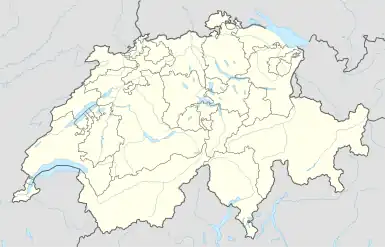 Grafenried 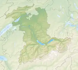 Grafenried | |
| Coordinates: 47°5′N 7°31′E | |
| Country | Switzerland |
| Canton | Bern |
| District | Bern-Mittelland |
| Area | |
| • Total | 4.71 km2 (1.82 sq mi) |
| Elevation | 520 m (1,710 ft) |
| Population (2011-12) | |
| • Total | 980 |
| • Density | 210/km2 (540/sq mi) |
| Time zone | UTC+01:00 (Central European Time) |
| • Summer (DST) | UTC+02:00 (Central European Summer Time) |
| Postal code(s) | 3308 |
| SFOS number | 0539 |
| Surrounded by | Etzelkofen, Fraubrunnen, Iffwil, Jegenstorf, Zauggenried |
| Website | www SFSO statistics |
On 1 January 2014, the former municipalities of Grafenried, Büren zum Hof, Etzelkofen, Limpach, Mülchi, Schalunen and Zauggenried merged into the municipality of Fraubrunnen.
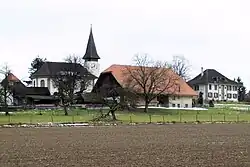
The church of Grafenried
This article is issued from Wikipedia. The text is licensed under Creative Commons - Attribution - Sharealike. Additional terms may apply for the media files.