Chardonne
Chardonne is a municipality in the district of Riviera-Pays-d'Enhaut in the canton of Vaud in Switzerland.
Chardonne | |
|---|---|
 Mont Pèlerin and Chardonne | |
 Coat of arms | |
Location of Chardonne | |
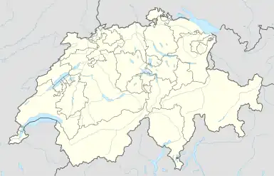 Chardonne 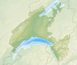 Chardonne | |
| Coordinates: 46°29′N 06°50′E | |
| Country | Switzerland |
| Canton | Vaud |
| District | Riviera-Pays-d'Enhaut |
| Government | |
| • Mayor | Syndic Serge Jacquin |
| Area | |
| • Total | 10.30 km2 (3.98 sq mi) |
| Elevation | 586 m (1,923 ft) |
| Population (31 December 2018)[2] | |
| • Total | 2,944 |
| • Density | 290/km2 (740/sq mi) |
| Demonym(s) | Les Chardonnerets Lè Tserdignolet |
| Time zone | UTC+01:00 (Central European Time) |
| • Summer (DST) | UTC+02:00 (Central European Summer Time) |
| Postal code(s) | 1801 Le Mont-Pèlerin 1803 Chardonne |
| SFOS number | 5882 |
| Localities | Le Mont-Pèlerin |
| Surrounded by | Granges (Veveyse) (FR), Attalens (FR), Jongny, Corsier-sur-Vevey, Corseaux, Saint-Saphorin (Lavaux), Puidoux |
| Twin towns | Barbezieux-Saint-Hilaire (France) |
| Website | www Profile (in French), SFSO statistics |
References
- "Arealstatistik Standard - Gemeinden nach 4 Hauptbereichen". Federal Statistical Office. Retrieved 13 January 2019.
- "Ständige Wohnbevölkerung nach Staatsangehörigkeitskategorie Geschlecht und Gemeinde; Provisorische Jahresergebnisse; 2018". Federal Statistical Office. 9 April 2019. Retrieved 11 April 2019.
This article is issued from Wikipedia. The text is licensed under Creative Commons - Attribution - Sharealike. Additional terms may apply for the media files.