Bunya Mountains
The Bunya Mountains are a few mountains that make a small part of the Great Dividing Range in southern Queensland. The mountain range makes the northern edge of the Darling Downs in the town of Bunya Mountains. The mountains are south of Kingaroy and just to the south west of Nanango. The range what is left of a shield volcano made from many basalt lava flows about 23-24 million years ago.[1]
| Bunya Mountains | |
|---|---|
 A small creek in the national park | |
| Highest point | |
| Peak | Mount Kiangarow |
| Elevation | 1,135 m (3,724 ft) |
| Geography | |
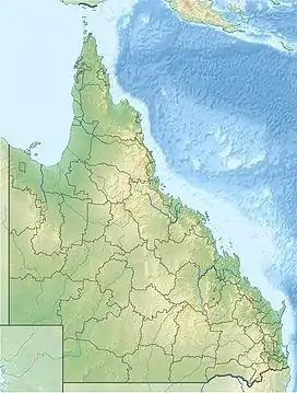 Location in Queensland | |
| Country | Australia |
| State | Queensland |
| Range coordinates | 26°50′S 151°33′E |
| Geology | |
| Age of rock | Jurassic |
| Type of rock | Shield Volcano |
References
- "The Bunya Mountains" (PDF). Geological Society of Australia Incorporated. April 1995. Archived from the original (PDF) on 5 March 2016. Retrieved 2009-11-03.
This article is issued from Wikipedia. The text is licensed under Creative Commons - Attribution - Sharealike. Additional terms may apply for the media files.