Budaun district
Budaun district is one of the districts of Uttar Pradesh state of India. Budaun city is the headquarter. It is the part of Bareilly division.[1]
Budaun district | |
|---|---|
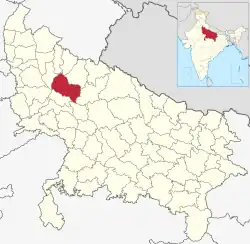 Location of Budaun district in Uttar Pradesh | |
| Country | India |
| State | Uttar Pradesh |
| Division | Bareilly |
| Headquarters | Budaun |
| Tehsils | 6 |
| Government | |
| • Lok Sabha constituencies | Badaun, Aonla (partly) |
| • Vidhan Sabha constituencies | 6 |
| Area | |
| • Total | 4,234 km2 (1,635 sq mi) |
| Population (2011) | |
| • Total | 3,681,896 |
| • Density | 870/km2 (2,300/sq mi) |
| • Urban | 826,000 |
| Demographics | |
| • Literacy | 52.91 per cent |
| Time zone | UTC+05:30 (IST) |
| Major highways | SH33, SH43, SH51, SH18, NH 93 |
| Website | https://budaun.nic.in/ |
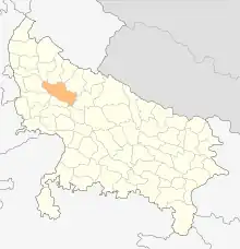
Badaun district map till date 23 July 2012 (Before the creation of Sambhal district)
At a Glance
- Area: 4234.21 Sq. Km.
- Population: 31,29,000
- Male: 16,71,000
- Female: 14,58,000
- Language: Hindi
- Villages: 1698
References
This article is issued from Wikipedia. The text is licensed under Creative Commons - Attribution - Sharealike. Additional terms may apply for the media files.