| Shupe Peak | |
|---|---|
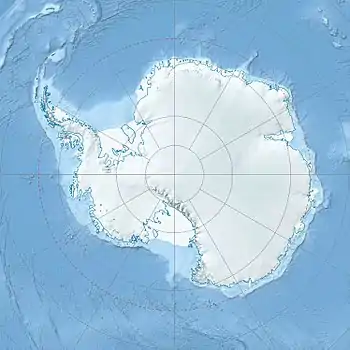 Shupe Peak Location in Antarctica | |
| Highest point | |
| Elevation | 2,910 metres (9,550 ft) |
| Coordinates | 78°10′S 161°55′E / 78.167°S 161.917°E |
| Geography | |
| Location | Antarctica |
Shupe Peak is a 2,910 metres (9,550 ft) tall peak of Rampart Ridge located 4 miles (6 km) east-southeast of The Spire in the Royal Society Range, Victoria Land. It was named by Advisory Committee on Antarctic Names (US-ACAN) in 1994 after Gordon H. Shupe, United States Geological Survey (USGS) cartographic technician; conducted geodetic operations during three austral field seasons, 1990–94; USGS team leader for International Global Positioning System (GPS) Campaign, 1991–92, at McMurdo, Byrd, and South Pole Stations, and the Pine Island Bay area. The team established the first continuous-tracking GPS reference station in Antarctica.
![]() This article incorporates public domain material from "Shupe Peak". Geographic Names Information System. United States Geological Survey.
This article incorporates public domain material from "Shupe Peak". Geographic Names Information System. United States Geological Survey.