| Räterichsbodensee | |
|---|---|
 | |
 Räterichsbodensee  Räterichsbodensee  Räterichsbodensee | |
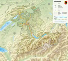
| Location | Grimsel, Canton of Berne |
| Coordinates | 46°35′7″N 8°19′41″E / 46.58528°N 8.32806°E |
| Type | reservoir |
| Primary inflows | Aar, Bächlis Bach, Gärstenbach, Bockbach |
| Primary outflows | Aar |
| Catchment area | 130.2 km2 (50.3 sq mi) |
| Basin countries | Switzerland |
| Surface area | 0.67 km2 (0.26 sq mi) |
| Max. depth | 77 m (253 ft) |
| Water volume | 25 million cubic metres (20,000 acre⋅ft) |
| Surface elevation | 1,767 m (5,797 ft) |
Räterichsbodensee is a lake in Guttannen, Oberhasli, Switzerland. The reservoir has a volume of 25 mio m³, a surface area is 0.67 km2 (0.26 sq mi) and is operated by Kraftwerke Oberhasli. It is connected to the river Aare.
See also
External links
 Media related to Räterichsbodensee at Wikimedia Commons
- Lake Räterichsboden
This article is issued from Wikipedia. The text is licensed under Creative Commons - Attribution - Sharealike. Additional terms may apply for the media files.