 Parḷḷeiru Parḷḷeiru in Spain | |
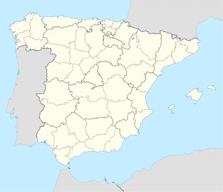
| Country | |
| Community | |
| Comarca | Eo-Navia |
| Name (asturian) | Parl.leiru |
| Municipality | |
| Population – Total (2007) – %Asturia – Density |
201 0,02% 9,72/km² |
| Altitude meters | 728 |
| Area | 20,68 km² |
| Postcode | 33... |
Parḷḷeiru[1] (Spanish: Parlero) is one of 6 parishes in the municipality of Villayón, in Asturias, Spain.
Geography
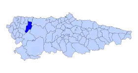
Villayón in Asturia
Parḷḷeiru is a Parroquia with 201 inhabitants (2007) and an Area of 20.68 km². Its altitude is 728m. It is 10 km away from the municipal capital Villayón.
Rivers and lakes
The rivers Parḷḷeiru and el Bauloso join with the Río Bullimeiro and then with the Río Cabornel, entering the Río Navia.
Transport
Nearest airport: Oviedo
Economy
Agriculture has dominated the region for hundreds of years.
Climate
Warm summers and mild, occasionally harsh Winters. In Autumn there may be strong storms.
Points of interest
- The Church of San Bartolomé
Smaller villages in the parish
- Buḷḷimeiru 12 inhabitants (2007)
- Las Berrugas 5 inhabitants (2007) 43°23′22″N 6°40′03″W / 43.38939°N 6.66763°W
- La Candanosa 11 inhabitants (2007)
- Los Ḷḷagos 15 inhabitants (2007) 43°24′01″N 6°40′19″W / 43.40024°N 6.67184°W
- Las Cárcobas 19 inhabitants (2007) 43°24′22″N 6°39′42″W / 43.40608°N 6.66155°W
- Ḷḷandelfornu 35 inhabitants (2007) 43°22′57″N 6°40′40″W / 43.38261°N 6.67776°W
- Llandequintá 60 inhabitants (2007) 43°23′50″N 6°41′41″W / 43.39731°N 6.69475°W
- L'Azoreirina 8 inhabitants (2007) 43°23′33″N 6°40′02″W / 43.3925°N 6.66711°W
- Valvona 7 inhabitants (2007) 43°24′11″N 6°40′36″W / 43.40315°N 6.67662°W
- Parḷḷeiru 29 inhabitants (2007) 43°24′07″N 6°40′12″W / 43.40184°N 6.66999°W
References
External links
This article is issued from Wikipedia. The text is licensed under Creative Commons - Attribution - Sharealike. Additional terms may apply for the media files.